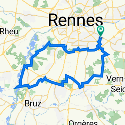
Tour de France 2011 - Etappe 5 - Rennes - La Roche-sour-Yon
A cycling route starting in Chantepie, Brittany Region, France.
Overview
About this route
<span style="font-family: Arial, Helvetica, sans-serif; font-size: 11px;">5. Etappe der Tour de France 2011 von Rennes - La Roche-sur-Yon (191,587 km)</span>
- -:--
- Duration
- 191.6 km
- Distance
- 400 m
- Ascent
- 378 m
- Descent
- ---
- Avg. speed
- ---
- Avg. speed
Continue with Bikemap
Use, edit, or download this cycling route
You would like to ride Tour de France 2011 - Etappe 5 - Rennes - La Roche-sour-Yon or customize it for your own trip? Here is what you can do with this Bikemap route:
Free features
- Save this route as favorite or in collections
- Copy & plan your own version of this route
- Sync your route with Garmin or Wahoo
Premium features
Free trial for 3 days, or one-time payment. More about Bikemap Premium.
- Navigate this route on iOS & Android
- Export a GPX / KML file of this route
- Create your custom printout (try it for free)
- Download this route for offline navigation
Discover more Premium features.
Get Bikemap PremiumFrom our community
Other popular routes starting in Chantepie
- Vélo - Entrainement tri 20+6
- Distance
- 22.5 km
- Ascent
- 84 m
- Descent
- 82 m
- Location
- Chantepie, Brittany Region, France
- test
- Distance
- 70.1 km
- Ascent
- 283 m
- Descent
- 283 m
- Location
- Chantepie, Brittany Region, France
- St Grégoire
- Distance
- 12.7 km
- Ascent
- 88 m
- Descent
- 140 m
- Location
- Chantepie, Brittany Region, France
- 2305_Bretagne_Jour1
- Distance
- 111.2 km
- Ascent
- 491 m
- Descent
- 541 m
- Location
- Chantepie, Brittany Region, France
- 2 Golf Courses
- Distance
- 39.3 km
- Ascent
- 124 m
- Descent
- 127 m
- Location
- Chantepie, Brittany Region, France
- Balade sud
- Distance
- 22.2 km
- Ascent
- 51 m
- Descent
- 49 m
- Location
- Chantepie, Brittany Region, France
- Maison-Boulot
- Distance
- 7.4 km
- Ascent
- 49 m
- Descent
- 46 m
- Location
- Chantepie, Brittany Region, France
- Itinéraire modéré en Rennes
- Distance
- 21.8 km
- Ascent
- 27 m
- Descent
- 63 m
- Location
- Chantepie, Brittany Region, France
Open it in the app