
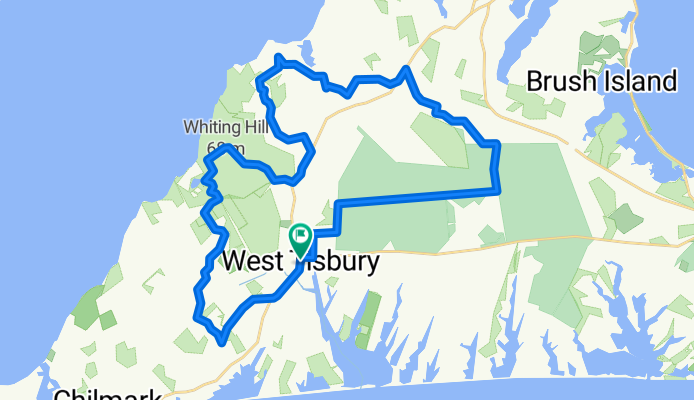
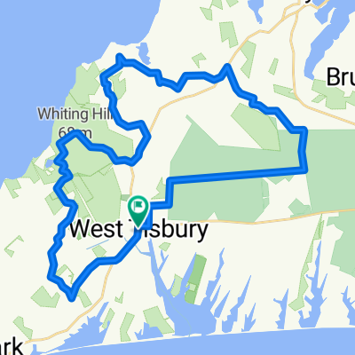
Forest Pants
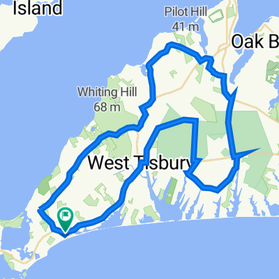
A cycling route starting in West Tisbury, Massachusetts, United States of America.
Overview
About this route
Forest wearing pants.
- -:--
- Duration
- 38.1 km
- Distance
- 202 m
- Ascent
- 202 m
- Descent
- ---
- Avg. speed
- ---
- Max. altitude

Route quality
Waytypes & surfaces along the route
Waytypes
Quiet road
25.5 km
(67 %)
Track
3.4 km
(9 %)
Surfaces
Paved
0.4 km
(<1 %)
Unpaved
5.3 km
(14 %)
Sand
3.4 km
(9 %)
Unpaved (undefined)
1.9 km
(5 %)
Continue with Bikemap
Use, edit, or download this cycling route
You would like to ride Forest Pants or customize it for your own trip? Here is what you can do with this Bikemap route:
Free features
- Save this route as favorite or in collections
- Copy & plan your own version of this route
- Sync your route with Garmin or Wahoo
Premium features
Free trial for 3 days, or one-time payment. More about Bikemap Premium.
- Navigate this route on iOS & Android
- Export a GPX / KML file of this route
- Create your custom printout (try it for free)
- Download this route for offline navigation
Discover more Premium features.
Get Bikemap PremiumFrom our community
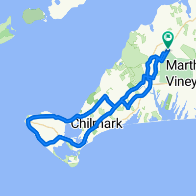
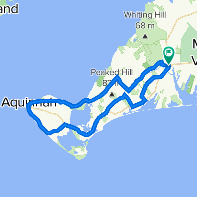
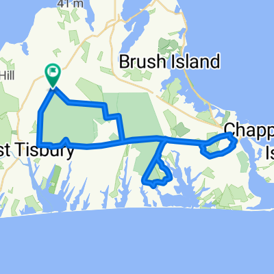
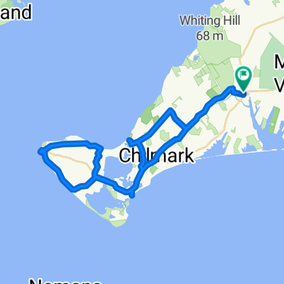
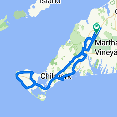
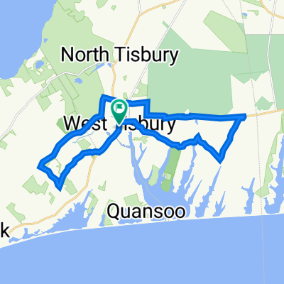
Other popular routes starting in West Tisbury
 Take Two
- Distance
- 47.9 km
- Ascent
- 237 m
- Descent
- 238 m
- Location
- West Tisbury, Massachusetts, United States of America
 Ben and Megan
- Distance
- 37.5 km
- Ascent
- 343 m
- Descent
- 341 m
- Location
- West Tisbury, Massachusetts, United States of America
 Feet in the Stirrup
- Distance
- 39.9 km
- Ascent
- 78 m
- Descent
- 78 m
- Location
- West Tisbury, Massachusetts, United States of America
 Forest Pants
- Distance
- 38.1 km
- Ascent
- 202 m
- Descent
- 202 m
- Location
- West Tisbury, Massachusetts, United States of America
 1047 State Rd, West Tisbury to 1047 State Rd, West Tisbury
- Distance
- 45.4 km
- Ascent
- 406 m
- Descent
- 404 m
- Location
- West Tisbury, Massachusetts, United States of America
 Lucy Vincent Route
- Distance
- 54.6 km
- Ascent
- 259 m
- Descent
- 259 m
- Location
- West Tisbury, Massachusetts, United States of America
 July 9 23
- Distance
- 22.3 km
- Ascent
- 160 m
- Descent
- 160 m
- Location
- West Tisbury, Massachusetts, United States of America
 The Big J for Jordan's Birthday
- Distance
- 52.3 km
- Ascent
- 345 m
- Descent
- 347 m
- Location
- West Tisbury, Massachusetts, United States of America
Open it in the app