

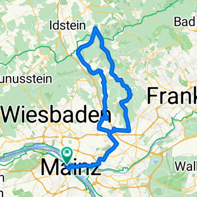
Mainz - Nierstein - Fähre - Kreis GG retour
A cycling route starting in Mainz, Rhineland-Palatinate, Germany.
Overview
About this route
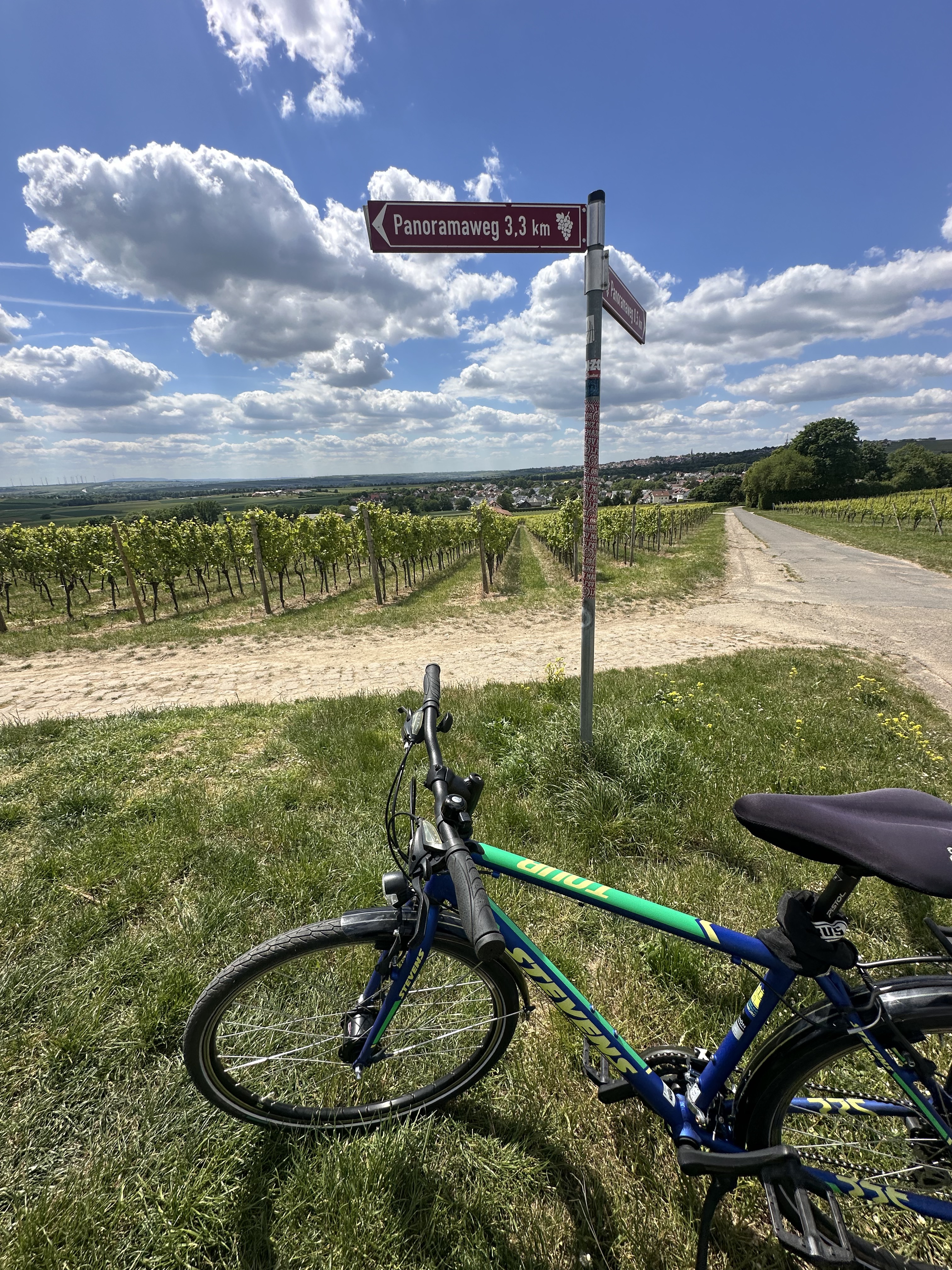
Von Mainz über Hechtsheim und div. Orte in Rheinhessen nach Nierstein (bis hierhin wellig, hügelig).
In Nierstein über die Rheinfähre (2 EUR) und dann über diverse Orte (Geinsheim, Trebur, Astheim, Ginsheim) nach Norden zurück.
In Ginsheim im neuen OT - Neubaugebiet Richtung Autobahnbrücke orientieren. Dann aber noch im Ort an der letzten Ampel links Richtung Rheindamm und auf diesem unter der Autobahnbrücke durch und dann auf dem Radweg auf die Brücke hoch.
In Weisenau / Brücke runter ist die Verkehrsführung / Beschilderung leider nicht optimal.
- -:--
- Duration
- 48.1 km
- Distance
- 153 m
- Ascent
- 153 m
- Descent
- ---
- Avg. speed
- ---
- Max. altitude

Route quality
Waytypes & surfaces along the route
Waytypes
Busy road
16.8 km
(35 %)
Path
12.2 km
(25 %)
Surfaces
Paved
44.9 km
(93 %)
Unpaved
0 km
(<1 %)
Asphalt
41 km
(85 %)
Paving stones
2.5 km
(5 %)
Route highlights
Points of interest along the route
Point of interest after 39.4 km
Point of interest after 40.6 km
Point of interest after 40.6 km
Continue with Bikemap
Use, edit, or download this cycling route
You would like to ride Mainz - Nierstein - Fähre - Kreis GG retour or customize it for your own trip? Here is what you can do with this Bikemap route:
Free features
- Save this route as favorite or in collections
- Copy & plan your own version of this route
- Sync your route with Garmin or Wahoo
Premium features
Free trial for 3 days, or one-time payment. More about Bikemap Premium.
- Navigate this route on iOS & Android
- Export a GPX / KML file of this route
- Create your custom printout (try it for free)
- Download this route for offline navigation
Discover more Premium features.
Get Bikemap PremiumFrom our community
Other popular routes starting in Mainz
 Tiger and Muesli
- Distance
- 59.2 km
- Ascent
- 621 m
- Descent
- 565 m
- Location
- Mainz, Rhineland-Palatinate, Germany
 Kleine Rheinhessenrunde
- Distance
- 28.6 km
- Ascent
- 220 m
- Descent
- 218 m
- Location
- Mainz, Rhineland-Palatinate, Germany
 20190831 Rheinrunde
- Distance
- 52.5 km
- Ascent
- 82 m
- Descent
- 85 m
- Location
- Mainz, Rhineland-Palatinate, Germany
 Annemarie-Renger-Straße, Mainz nach Hechtsheimer Straße, Mainz
- Distance
- 17.1 km
- Ascent
- 131 m
- Descent
- 132 m
- Location
- Mainz, Rhineland-Palatinate, Germany
 In alte Gefilde
- Distance
- 50 km
- Ascent
- 365 m
- Descent
- 362 m
- Location
- Mainz, Rhineland-Palatinate, Germany
 Mainz-Lorsbachtal-Heftrich-Niedernhausen-Mainz
- Distance
- 82.4 km
- Ascent
- 719 m
- Descent
- 720 m
- Location
- Mainz, Rhineland-Palatinate, Germany
 De: Mainz Süd süss
- Distance
- 54.9 km
- Ascent
- 568 m
- Descent
- 555 m
- Location
- Mainz, Rhineland-Palatinate, Germany
 Desvela Alemanha - Mainz
- Distance
- 52.9 km
- Ascent
- 1,452 m
- Descent
- 1,451 m
- Location
- Mainz, Rhineland-Palatinate, Germany
Open it in the app