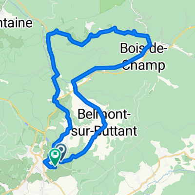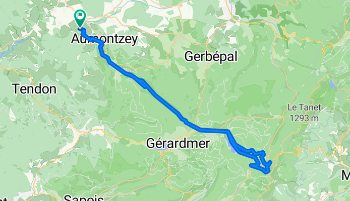


bruyere/panche des belles/filles
- 198.8 km
- 5,933 m
- 5,349 m
- Bruyères, Grand Est, France
A cycling route starting in Bruyères, Grand Est, France.
Overview
Used for Bike & Hike to the "Le Hohneck". Mostly small streets.
created this 15 years ago
Route quality
Quiet road
10.9 km
(18 %)
Road
9.7 km
(16 %)
Paved
32.2 km
(53 %)
Unpaved
7.3 km
(12 %)
Asphalt
31.6 km
(52 %)
Gravel
5.5 km
(9 %)
Continue with Bikemap
You would like to ride Herpelmont -> Col de la Schlucht -> H. or customize it for your own trip? Here is what you can do with this Bikemap route:
Free trial for 3 days, or one-time payment. More about Bikemap Premium.
Discover more Premium features.
Get Bikemap PremiumFrom our community
Open it in the app