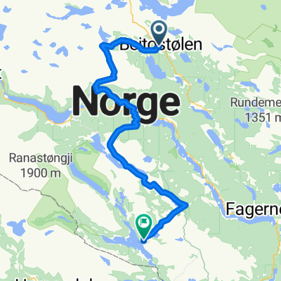
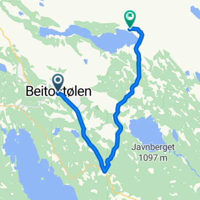
Bygdinvegen, Beitostølen to Grønebakkin 4G, Beitostølen
- 13 km
- 337 m
- 344 m
- Heggenes, Oppland, Norway
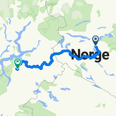
A cycling route starting in Heggenes, Oppland, Norway.
Overview
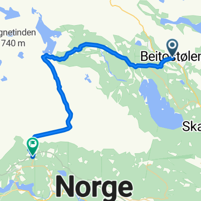
More mountain paths, but also some asphalt. Including 10 kilometers of marsh, bushes, marsh, marsh, and a river you have to wade/swim across. So this makes this route tough.
created this 15 years ago
Continue with Bikemap
You would like to ride Rundt Yddin or customize it for your own trip? Here is what you can do with this Bikemap route:
Free trial for 3 days, or one-time payment. More about Bikemap Premium.
Discover more Premium features.
Get Bikemap PremiumFrom our community
Open it in the app