
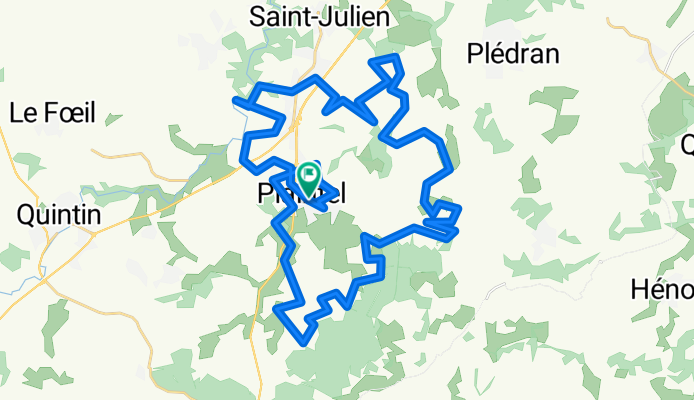
Plaintel - Circuit noir officiel - 22215 - UtagawaVTT.com
A cycling route starting in Plaintel, Brittany Region, France.
Overview
About this route
- 9 h 10 min
- Duration
- 50.3 km
- Distance
- 904 m
- Ascent
- 906 m
- Descent
- 5.5 km/h
- Avg. speed
- ---
- Max. altitude

Route quality
Waytypes & surfaces along the route
Waytypes
Quiet road
18.6 km
(37 %)
Path
15.6 km
(31 %)
Surfaces
Paved
2 km
(4 %)
Unpaved
14.6 km
(29 %)
Ground
11.1 km
(22 %)
Gravel
3 km
(6 %)
Continue with Bikemap
Use, edit, or download this cycling route
You would like to ride Plaintel - Circuit noir officiel - 22215 - UtagawaVTT.com or customize it for your own trip? Here is what you can do with this Bikemap route:
Free features
- Save this route as favorite or in collections
- Copy & plan your own version of this route
- Sync your route with Garmin or Wahoo
Premium features
Free trial for 3 days, or one-time payment. More about Bikemap Premium.
- Navigate this route on iOS & Android
- Export a GPX / KML file of this route
- Create your custom printout (try it for free)
- Download this route for offline navigation
Discover more Premium features.
Get Bikemap PremiumFrom our community
Other popular routes starting in Plaintel
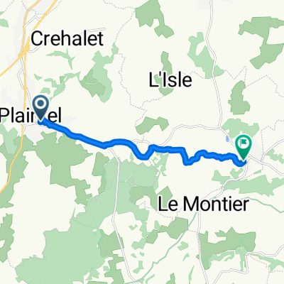
 De Rue du Beau Chemin 245, Plaintel à Place François Gicquel 8, Plaintel
- Distance
- 19.8 km
- Ascent
- 87 m
- Descent
- 210 m
- Location
- Plaintel, Brittany Region, France
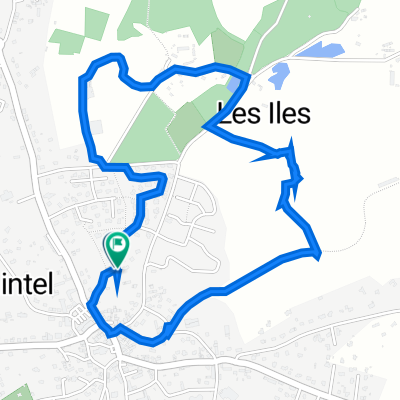 30 Rue des Peupliers, Plaintel à 30 Rue des Peupliers, Plaintel
- Distance
- 3.3 km
- Ascent
- 39 m
- Descent
- 40 m
- Location
- Plaintel, Brittany Region, France
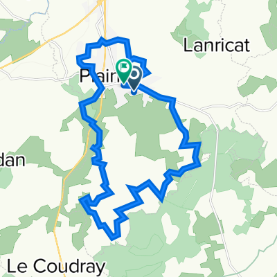
 Place Général de Gaulle, Plaintel to Rue du Gué, Saint-Carreuc
- Distance
- 7.9 km
- Ascent
- 94 m
- Descent
- 109 m
- Location
- Plaintel, Brittany Region, France
 Plaintel - Circuit noir officiel - 22215 - UtagawaVTT.com
- Distance
- 50.3 km
- Ascent
- 904 m
- Descent
- 906 m
- Location
- Plaintel, Brittany Region, France
Open it in the app