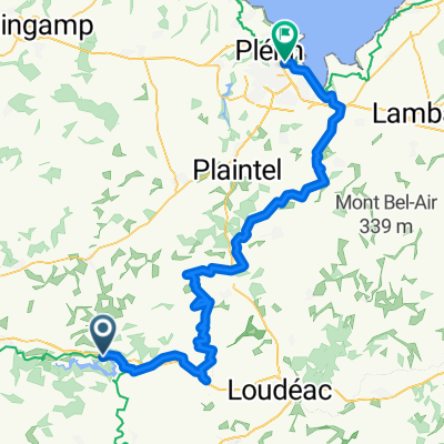
Von Caurel bis Plérin
- 90.5 km
- 1,008 m
- 1,158 m
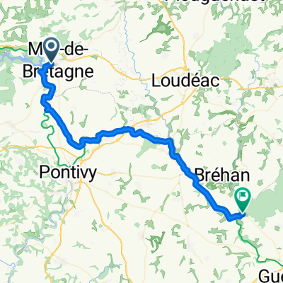
- Mûr-de-Bretagne, Brittany Region, France
A cycling route starting in Mûr-de-Bretagne, Brittany Region, France.
Overview
created this 13 years ago
Continue with Bikemap
You would like to ride Autour du lac de Guerlédan - 6685 - UtagawaVTT.com or customize it for your own trip? Here is what you can do with this Bikemap route:
Free trial for 3 days, or one-time payment. More about Bikemap Premium.
Discover more Premium features.
Get Bikemap PremiumFrom our community
Open it in the app