IBK-Tumpen
- 51.4 km
- 443 m
- 123 m
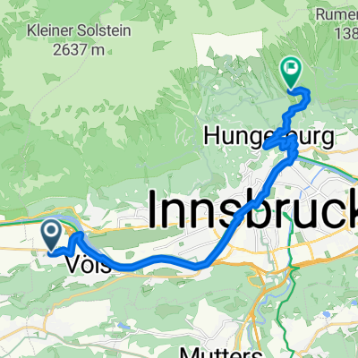
- Völs, Tyrol, Austria
A cycling route starting in Völs, Tyrol, Austria.
Overview
Challenging long-distance ride from Innsbruck on the old Brenner road to Italy (Brennero) with an optional side route to the Mutterberger Alm
The 'Pass of Longing' is a dream both scenically and in terms of route, unfortunately it is also a very busy bottleneck of Alpine long-distance traffic, especially during holiday seasons. Good timing when planning the tour is crucial – or a high tolerance level.
The climb up to the Brenner is very long at over 40 kilometers, but only difficult at the beginning and the very end with about 10% gradient. In between, the slopes are mostly gentle and barely noticeable.
The endless, winding descent towards Innsbruck with its northern Alpine range in the evening sun is then a pure pleasure.
Those who still have some energy left can take a detour from Schönberg up to the Mutterberger Alm. Alternatively, other side valleys also offer options.
created this 5 years ago
Route quality
Road
11.5 km
(7 %)
Quiet road
9.9 km
(6 %)
Paved
153.2 km
(93 %)
Unpaved
3.3 km
(2 %)
Asphalt
153.2 km
(93 %)
Gravel
3.3 km
(2 %)
Undefined
8.2 km
(5 %)
Continue with Bikemap
You would like to ride Innsbruck - Brennero - Mutterberger Alm or customize it for your own trip? Here is what you can do with this Bikemap route:
Free trial for 3 days, or one-time payment. More about Bikemap Premium.
Discover more Premium features.
Get Bikemap PremiumFrom our community
Open it in the app