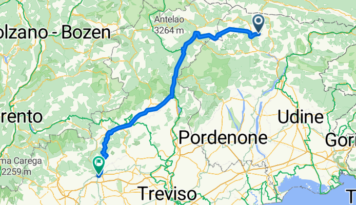
Bassano del Grappa - Monte Zocolan
A cycling route starting in Ravascletto, Friuli Venezia Giulia, Italy.
Overview
About this route
- -:--
- Duration
- 197.3 km
- Distance
- 3,404 m
- Ascent
- 4,959 m
- Descent
- ---
- Avg. speed
- ---
- Avg. speed
Route quality
Waytypes & surfaces along the route
Waytypes
Undefined
197.3 km
(100 %)
Surfaces
Undefined
197.3 km
(100 %)
Route highlights
Points of interest along the route
Point of interest after 1.7 km
Monte Crostis
Point of interest after 146.6 km
Passo di Monte Giovo
Point of interest after 149.8 km
Merano 2000
Point of interest after 150.1 km
Val Senales
Point of interest after 151.6 km
Val d'Ultimo
Point of interest after 151.8 km
Gfrill
Point of interest after 178 km
Passo dello Spluga
Point of interest after 178 km
Val Malenco
Point of interest after 178 km
Monte Bondone
Point of interest after 178 km
Passo del Vivione
Point of interest after 178 km
Passo San Marco
Point of interest after 178 km
Goletto delle Crocette (2080 m) (Giogo della Bala 2130 m)
Point of interest after 178.7 km
Monte Grappa
Continue with Bikemap
Use, edit, or download this cycling route
You would like to ride Bassano del Grappa - Monte Zocolan or customize it for your own trip? Here is what you can do with this Bikemap route:
Free features
- Save this route as favorite or in collections
- Copy & plan your own version of this route
- Sync your route with Garmin or Wahoo
Premium features
Free trial for 3 days, or one-time payment. More about Bikemap Premium.
- Navigate this route on iOS & Android
- Export a GPX / KML file of this route
- Create your custom printout (try it for free)
- Download this route for offline navigation
Discover more Premium features.
Get Bikemap PremiumFrom our community
Other popular routes starting in Ravascletto
- Monte Zoncolan - 112km
- Distance
- 112.9 km
- Ascent
- 2,887 m
- Descent
- 2,887 m
- Location
- Ravascletto, Friuli Venezia Giulia, Italy
- n4 Panoramica delle vette
- Distance
- 32.3 km
- Ascent
- 1,455 m
- Descent
- 1,455 m
- Location
- Ravascletto, Friuli Venezia Giulia, Italy
- Alpes-Mortirolo
- Distance
- 16.3 km
- Ascent
- 1,212 m
- Descent
- 487 m
- Location
- Ravascletto, Friuli Venezia Giulia, Italy
- 3: Ravascletto-Alleghe
- Distance
- 136.7 km
- Ascent
- 2,993 m
- Descent
- 2,917 m
- Location
- Ravascletto, Friuli Venezia Giulia, Italy
- Bassano del Grappa - Monte Zocolan
- Distance
- 197.3 km
- Ascent
- 3,404 m
- Descent
- 4,959 m
- Location
- Ravascletto, Friuli Venezia Giulia, Italy
- Ravascletto-Co,eglinas- Mielli-Taulis
- Distance
- 10.7 km
- Ascent
- 357 m
- Descent
- 422 m
- Location
- Ravascletto, Friuli Venezia Giulia, Italy
- Pani-Crostis
- Distance
- 71.7 km
- Ascent
- 2,801 m
- Descent
- 1,772 m
- Location
- Ravascletto, Friuli Venezia Giulia, Italy
- K 9/12 Ravascletto to Cortina d’Ampezzo
- Distance
- 93.3 km
- Ascent
- 2,257 m
- Descent
- 1,941 m
- Location
- Ravascletto, Friuli Venezia Giulia, Italy