
Diez >Hochtaunus Rundfahrt> Diez
A cycling route starting in Diez, Rhineland-Palatinate, Germany.
Overview
About this route
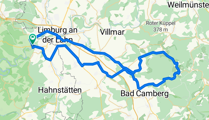
Up to Niederselters, the terrain is relatively flat (good for warming up), then comes the climb over Eisenbach, Haintchen, Hasselbach, and nearly 500 meters of elevation gain over the Kuhbett. A downhill segment of about 4 km descending towards Erbach. The next tough climb comes after Niederselters heading towards Dauborn—not much elevation gain, but the gradient is quite challenging ;)
- -:--
- Duration
- 71.8 km
- Distance
- 676 m
- Ascent
- 676 m
- Descent
- ---
- Avg. speed
- ---
- Max. altitude
Route quality
Waytypes & surfaces along the route
Waytypes
Road
15.1 km
(21 %)
Quiet road
9.3 km
(13 %)
Surfaces
Paved
51.7 km
(72 %)
Unpaved
4.3 km
(6 %)
Asphalt
50.3 km
(70 %)
Ground
2.2 km
(3 %)
Route highlights
Points of interest along the route
Point of interest after 0 km
Start
Continue with Bikemap
Use, edit, or download this cycling route
You would like to ride Diez >Hochtaunus Rundfahrt> Diez or customize it for your own trip? Here is what you can do with this Bikemap route:
Free features
- Save this route as favorite or in collections
- Copy & plan your own version of this route
- Sync your route with Garmin or Wahoo
Premium features
Free trial for 3 days, or one-time payment. More about Bikemap Premium.
- Navigate this route on iOS & Android
- Export a GPX / KML file of this route
- Create your custom printout (try it for free)
- Download this route for offline navigation
Discover more Premium features.
Get Bikemap PremiumFrom our community
Other popular routes starting in Diez
 Diez > Führfurth
- Distance
- 28.3 km
- Ascent
- 286 m
- Descent
- 288 m
- Location
- Diez, Rhineland-Palatinate, Germany
 Kanu Lahn
- Distance
- 62.5 km
- Ascent
- 488 m
- Descent
- 537 m
- Location
- Diez, Rhineland-Palatinate, Germany
 taunus rundfahrt
- Distance
- 73.7 km
- Ascent
- 514 m
- Descent
- 511 m
- Location
- Diez, Rhineland-Palatinate, Germany
 Diez >Hochtaunus Rundfahrt> Diez
- Distance
- 71.8 km
- Ascent
- 676 m
- Descent
- 676 m
- Location
- Diez, Rhineland-Palatinate, Germany
 1999 Eifeltour ab Diez -Namedy
- Distance
- 88.7 km
- Ascent
- 876 m
- Descent
- 928 m
- Location
- Diez, Rhineland-Palatinate, Germany
 Buchholz-Schwarzwald Tag13
- Distance
- 35.5 km
- Ascent
- 288 m
- Descent
- 108 m
- Location
- Diez, Rhineland-Palatinate, Germany
 Aull Hadamar Aull
- Distance
- 33.5 km
- Ascent
- 438 m
- Descent
- 438 m
- Location
- Diez, Rhineland-Palatinate, Germany
 Von Limburg zum Deutschen Eck
- Distance
- 91 km
- Ascent
- 362 m
- Descent
- 403 m
- Location
- Diez, Rhineland-Palatinate, Germany
Open it in the app