

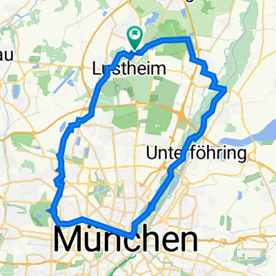
MucVien_0808
A cycling route starting in Oberschleißheim, Bavaria, Germany.
Overview
About this route
- -:--
- Duration
- 486.8 km
- Distance
- 407 m
- Ascent
- 699 m
- Descent
- ---
- Avg. speed
- ---
- Max. altitude

Continue with Bikemap
Use, edit, or download this cycling route
You would like to ride MucVien_0808 or customize it for your own trip? Here is what you can do with this Bikemap route:
Free features
- Save this route as favorite or in collections
- Copy & plan your own version of this route
- Split it into stages to create a multi-day tour
- Sync your route with Garmin or Wahoo
Premium features
Free trial for 3 days, or one-time payment. More about Bikemap Premium.
- Navigate this route on iOS & Android
- Export a GPX / KML file of this route
- Create your custom printout (try it for free)
- Download this route for offline navigation
Discover more Premium features.
Get Bikemap PremiumFrom our community
Other popular routes starting in Oberschleißheim
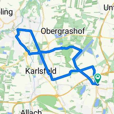
 Grashofstrasse zur Allianzarena
- Distance
- 45.4 km
- Ascent
- 10 m
- Descent
- 10 m
- Location
- Oberschleißheim, Bavaria, Germany
 Finsinger Alm bm
- Distance
- 52.9 km
- Ascent
- 105 m
- Descent
- 105 m
- Location
- Oberschleißheim, Bavaria, Germany
 MTB Tour Förtmanninger Heide
- Distance
- 7.5 km
- Ascent
- 9 m
- Descent
- 18 m
- Location
- Oberschleißheim, Bavaria, Germany
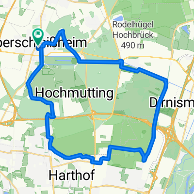
 Abend Route Oberschleißheim - München
- Distance
- 29.7 km
- Ascent
- 170 m
- Descent
- 168 m
- Location
- Oberschleißheim, Bavaria, Germany
 München - US
- Distance
- 49.3 km
- Ascent
- 199 m
- Descent
- 202 m
- Location
- Oberschleißheim, Bavaria, Germany
 MucVien_0808
- Distance
- 486.8 km
- Ascent
- 407 m
- Descent
- 699 m
- Location
- Oberschleißheim, Bavaria, Germany
 SunSet OSH 5 Fröttmaninger Heide Panzerwiese
- Distance
- 22.1 km
- Ascent
- 56 m
- Descent
- 54 m
- Location
- Oberschleißheim, Bavaria, Germany
 Ausfahrt durch München
- Distance
- 22 km
- Ascent
- 11 m
- Descent
- 12 m
- Location
- Oberschleißheim, Bavaria, Germany
Open it in the app