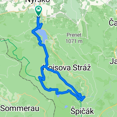
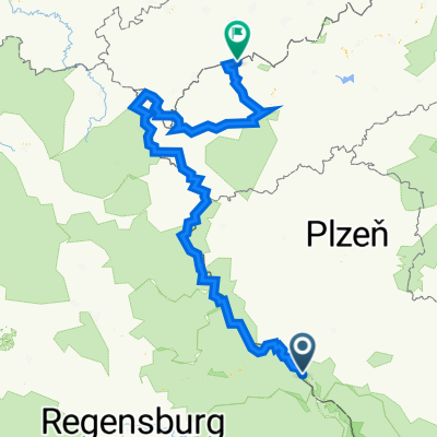
Krumau-22062020
A cycling route starting in Nýrsko, Plzeň Region, Czechia.
Overview
About this route
- -:--
- Duration
- 336.6 km
- Distance
- 2,694 m
- Ascent
- 2,735 m
- Descent
- ---
- Avg. speed
- ---
- Max. altitude
Route quality
Waytypes & surfaces along the route
Waytypes
Road
87.5 km
(26 %)
Track
70.7 km
(21 %)
Surfaces
Paved
195.2 km
(58 %)
Unpaved
20.2 km
(6 %)
Asphalt
178.4 km
(53 %)
Paved (undefined)
16.8 km
(5 %)
Route highlights
Points of interest along the route
Accommodation after 66.8 km
Hotel and Restaurant Terrace
Accommodation after 129 km
Hotel Czech Žleby
Accommodation after 246.2 km
Hotel Terasa, Vimperg
Accommodation after 286.7 km
Hotel Jiřičná
Continue with Bikemap
Use, edit, or download this cycling route
You would like to ride Krumau-22062020 or customize it for your own trip? Here is what you can do with this Bikemap route:
Free features
- Save this route as favorite or in collections
- Copy & plan your own version of this route
- Split it into stages to create a multi-day tour
- Sync your route with Garmin or Wahoo
Premium features
Free trial for 3 days, or one-time payment. More about Bikemap Premium.
- Navigate this route on iOS & Android
- Export a GPX / KML file of this route
- Create your custom printout (try it for free)
- Download this route for offline navigation
Discover more Premium features.
Get Bikemap PremiumFrom our community
Other popular routes starting in Nýrsko
Stará Lhota - Černé Jezero- Distance
- 37.9 km
- Ascent
- 799 m
- Descent
- 804 m
- Location
- Nýrsko, Plzeň Region, Czechia
Vor Lomnice - Karlsbad 311 km- Distance
- 358.6 km
- Ascent
- 5,805 m
- Descent
- 6,089 m
- Location
- Nýrsko, Plzeň Region, Czechia
Von Rittsteig nach Klatovy und zurück- Distance
- 72.5 km
- Ascent
- 839 m
- Descent
- 998 m
- Location
- Nýrsko, Plzeň Region, Czechia
Krumau-22062020- Distance
- 336.6 km
- Ascent
- 2,694 m
- Descent
- 2,735 m
- Location
- Nýrsko, Plzeň Region, Czechia
Zelezna Lhota - Pancir - Cerne Jezero - Nyrsko- Distance
- 45 km
- Ascent
- 1,022 m
- Descent
- 1,035 m
- Location
- Nýrsko, Plzeň Region, Czechia
Hamry-Prenet-Nad Sjezdovkou-Na mustku-Pancir-Hojsova Straz- Distance
- 31.2 km
- Ascent
- 897 m
- Descent
- 897 m
- Location
- Nýrsko, Plzeň Region, Czechia
Hojsova Stráž - jezero Laka - Pancíř- Distance
- 67.7 km
- Ascent
- 1,367 m
- Descent
- 1,219 m
- Location
- Nýrsko, Plzeň Region, Czechia
Hojsova Stráž - Kleine Arbersee- Distance
- 75.8 km
- Ascent
- 1,321 m
- Descent
- 1,318 m
- Location
- Nýrsko, Plzeň Region, Czechia
Open it in the app

