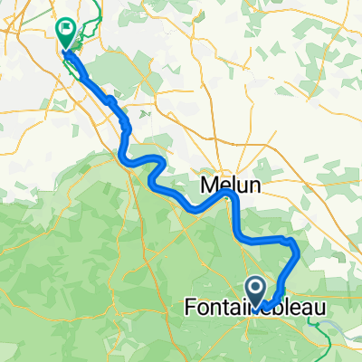
Fontainebleau - Paris
- 71.9 km
- 245 m
- 267 m
- Fontainebleau, Île-de-France Region, France
A cycling route starting in Fontainebleau, Île-de-France Region, France.
Overview
created this 5 years ago
Route quality
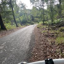
Quiet road
38.4 km
(48 %)
Pedestrian area
4.8 km
(6 %)
Paved
45.7 km
(57 %)
Unpaved
9.6 km
(12 %)
Asphalt
44 km
(55 %)
Gravel
5.6 km
(7 %)
Continue with Bikemap
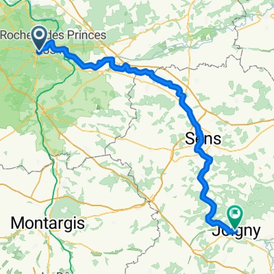
You would like to ride Etape 11: Bourgogne or customize it for your own trip? Here is what you can do with this Bikemap route:
Free trial for 3 days, or one-time payment. More about Bikemap Premium.
Discover more Premium features.
Get Bikemap PremiumFrom our community
Open it in the app