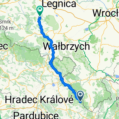
Bartošovice v Orlických horách, Bartošovice v Orlických horách do North Trail, Deštné v Orlických horách
- 25.9 km
- 876 m
- 353 m
- Kunvald, Pardubický kraj, Czechia
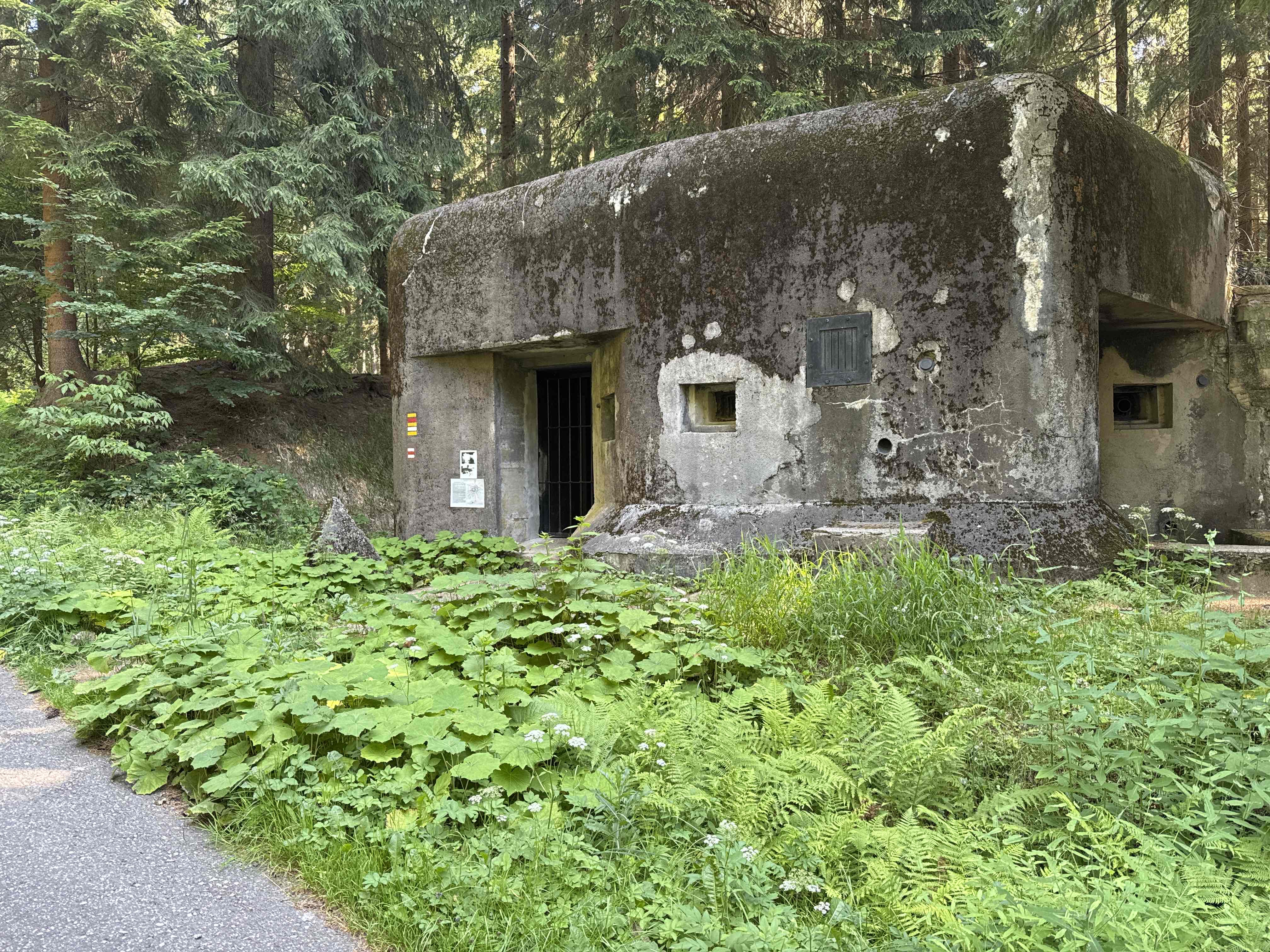
On the southern side of the Orlické Mountains, through the valley of Zdobnice to Deštné, to the Masaryk chalet and then along the ridge to the highest mountain, Velká Deštná (1115 m), and from Pěticestí to the forester's lodge above Záhoří, then back to the ridge below Komářím vrch and around the Anenský mill to Rokytnice.
Track
17.5 km31 %Road
11.8 km21 %Paved
39.4 km(70 %)Unpaved
2.8 km(5 %)Asphalt
36.6 km65 %Paved (undefined)
2.8 km5 %Free trial for 3 days, or one-time payment. More about Bikemap Premium.
Discover more Premium features.
Get Bikemap PremiumOpen it in the app