Zur Unterkunft
- 61.2 km
- 134 m
- 125 m
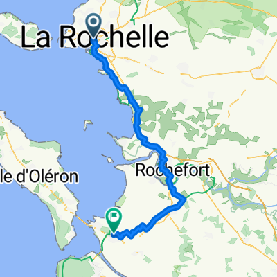
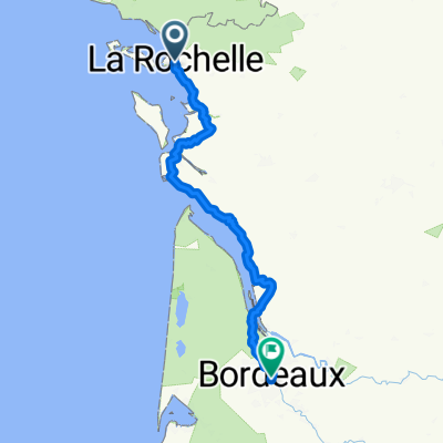
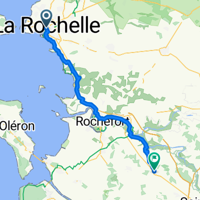
- La Rochelle, Nouvelle-Aquitaine, France
Promenade tourisme
A cycling route starting in La Rochelle, Nouvelle-Aquitaine, France.
Overview
A easy and pleasant loop away from cars. Departing from the port of La Rochelle. Crossing the marshes of Tasdon and Aytré. Then returning along the customs path facing the ocean.
created this 5 years ago
Part of
Promenade tourisme
1 stage
Route quality
Cycleway
3.8 km
(21 %)
Quiet road
3.6 km
(20 %)
Paved
10.1 km
(56 %)
Unpaved
3.3 km
(18 %)
Asphalt
9 km
(50 %)
Gravel
3.1 km
(17 %)
Route highlights


Plage des Minimes

Les Tours de La Rochelle

Port de La Rochelle
Continue with Bikemap
You would like to ride Boucle La Rochelle-Marais-océan or customize it for your own trip? Here is what you can do with this Bikemap route:
Free trial for 3 days, or one-time payment. More about Bikemap Premium.
Discover more Premium features.
Get Bikemap PremiumFrom our community
Open it in the app