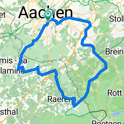
Vennbahn 1 Etappe
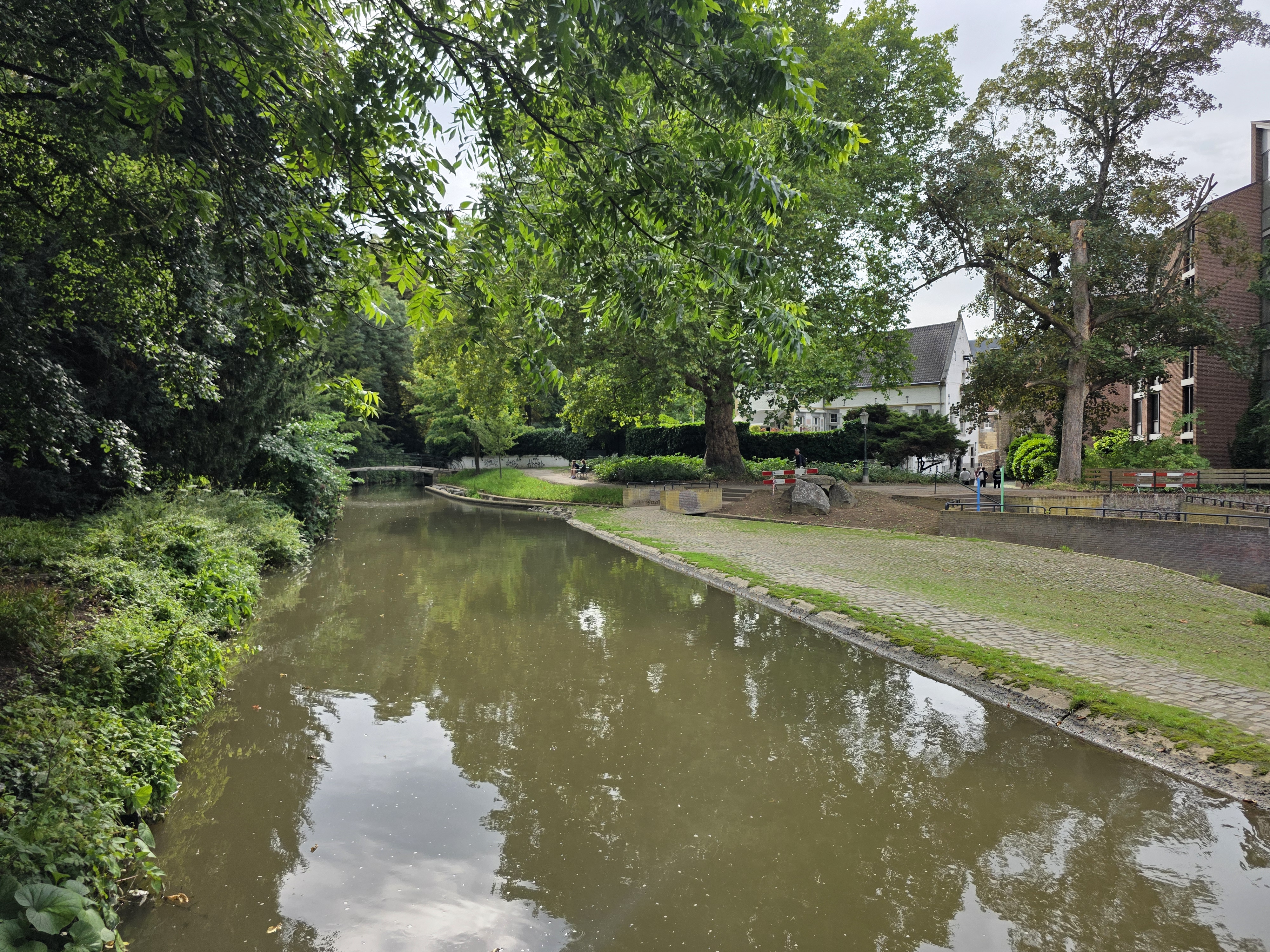
A cycling route starting in Aachen, North Rhine-Westphalia, Germany.
Overview
About this route
- -:--
- Duration
- 119.1 km
- Distance
- 1,076 m
- Ascent
- 767 m
- Descent
- ---
- Avg. speed
- ---
- Max. altitude
Route quality
Waytypes & surfaces along the route
Waytypes
Path
37.8 km
(32 %)
Cycleway
34.8 km
(29 %)
Surfaces
Paved
98.1 km
(82 %)
Unpaved
1.9 km
(2 %)
Asphalt
96.7 km
(81 %)
Gravel
1.8 km
(2 %)
Continue with Bikemap
Use, edit, or download this cycling route
You would like to ride Vennbahn 1 Etappe or customize it for your own trip? Here is what you can do with this Bikemap route:
Free features
- Save this route as favorite or in collections
- Copy & plan your own version of this route
- Split it into stages to create a multi-day tour
- Sync your route with Garmin or Wahoo
Premium features
Free trial for 3 days, or one-time payment. More about Bikemap Premium.
- Navigate this route on iOS & Android
- Export a GPX / KML file of this route
- Create your custom printout (try it for free)
- Download this route for offline navigation
Discover more Premium features.
Get Bikemap PremiumFrom our community
Other popular routes starting in Aachen
- Durchs Hohe Venn
- Distance
- 72.7 km
- Ascent
- 713 m
- Descent
- 589 m
- Location
- Aachen, North Rhine-Westphalia, Germany
- TJs extreme :)
- Distance
- 50.6 km
- Ascent
- 615 m
- Descent
- 612 m
- Location
- Aachen, North Rhine-Westphalia, Germany
- Aachen-Maastricht-Aachen
- Distance
- 89.7 km
- Ascent
- 702 m
- Descent
- 702 m
- Location
- Aachen, North Rhine-Westphalia, Germany
- Vaals - Op jacht in het Preuswald
- Distance
- 23.6 km
- Ascent
- 424 m
- Descent
- 425 m
- Location
- Aachen, North Rhine-Westphalia, Germany
- Durch den Aachener Stadtwald
- Distance
- 26.7 km
- Ascent
- 320 m
- Descent
- 320 m
- Location
- Aachen, North Rhine-Westphalia, Germany
- 12-01-17 Kleine Mergellandrunde 47km-629hm
- Distance
- 47.5 km
- Ascent
- 473 m
- Descent
- 473 m
- Location
- Aachen, North Rhine-Westphalia, Germany
- Köpfchen-Lichtenbusch-Vennbahn
- Distance
- 26.9 km
- Ascent
- 193 m
- Descent
- 174 m
- Location
- Aachen, North Rhine-Westphalia, Germany
- aachen-zittau
- Distance
- 1,039.3 km
- Ascent
- 7,225 m
- Descent
- 7,135 m
- Location
- Aachen, North Rhine-Westphalia, Germany
Open it in the app