Wörth-Oberwolkersdorf-Winzersdorf-Frauenbiburg-Teisbach-Wörth
- 48.8 km
- 408 m
- 409 m
- Wörth an der Isar, Bavaria, Germany
2020 besondere Touren
A cycling route starting in Wörth an der Isar, Bavaria, Germany.
Overview
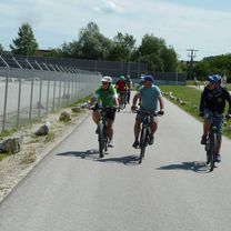
Very beautiful bike tour, nice beer garden
created this 5 years ago
Part of

8 stages


Route quality
Quiet road
34.8 km
(36 %)
Path
26.1 km
(27 %)
Paved
86.1 km
(89 %)
Unpaved
1 km
(1 %)
Asphalt
84.1 km
(87 %)
Paved (undefined)
1 km
(1 %)
Continue with Bikemap
You would like to ride Wörth-Vilsbiburg-Taufkirchen-Bichl-Altfraunhofen-Geisenhausen-Adlkofen-Wörth or customize it for your own trip? Here is what you can do with this Bikemap route:
Free trial for 3 days, or one-time payment. More about Bikemap Premium.
Discover more Premium features.
Get Bikemap PremiumFrom our community
Open it in the app