alpen2015-tag2
- 44.2 km
- 1,232 m
- 1,701 m
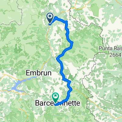
- Villar-Saint-Pancrace, Provence-Alpes-Côte d'Azur Region, France
A cycling route starting in Villar-Saint-Pancrace, Provence-Alpes-Côte d'Azur Region, France.
Overview
Exploratory mountain bike ride behind the Prelles campsite. Rugged terrain with sections of rock and stones.
created this 15 years ago
Route quality
Track
7.6 km
(46 %)
Quiet road
4.3 km
(26 %)
Unpaved
4.8 km
(29 %)
Gravel
4.8 km
(29 %)
Undefined
11.8 km
(71 %)
Continue with Bikemap
You would like to ride Achter de camping Prelles. or customize it for your own trip? Here is what you can do with this Bikemap route:
Free trial for 3 days, or one-time payment. More about Bikemap Premium.
Discover more Premium features.
Get Bikemap PremiumFrom our community
Open it in the app