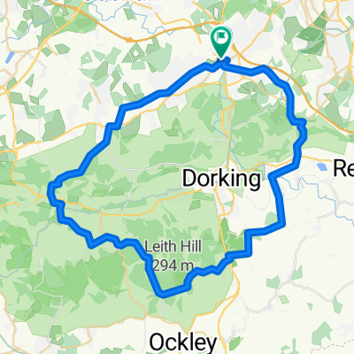
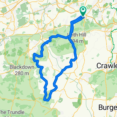
Two hills
- 44.2 km
- 546 m
- 542 m
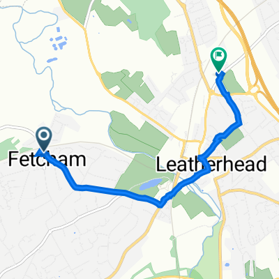
- Leatherhead, England, United Kingdom
A cycling route starting in Leatherhead, England, United Kingdom.
Overview
created this 15 years ago
Route quality
Road
22.6 km
(44 %)
Quiet road
17.9 km
(35 %)
Paved
30.8 km
(60 %)
Unpaved
0.5 km
(1 %)
Asphalt
30.8 km
(60 %)
Unpaved (undefined)
0.5 km
(1 %)
Undefined
20 km
(39 %)
Continue with Bikemap
You would like to ride Leatherhead-Brockham-Abinger-Efingham-Leatherhead or customize it for your own trip? Here is what you can do with this Bikemap route:
Free trial for 3 days, or one-time payment. More about Bikemap Premium.
Discover more Premium features.
Get Bikemap PremiumFrom our community
Open it in the app