

13–14 Fraser Lane, Penicuik to Royal Tweed Bridge, Berwick-upon-Tweed
A cycling route starting in Penicuik, Scotland, United Kingdom.
Overview
About this route
- 4 h 42 min
- Duration
- 93.2 km
- Distance
- 979 m
- Ascent
- 1,152 m
- Descent
- 19.8 km/h
- Avg. speed
- ---
- Max. altitude

Route quality
Waytypes & surfaces along the route
Waytypes
Road
9.3 km
(10 %)
Quiet road
6.5 km
(7 %)
Surfaces
Paved
55 km
(59 %)
Asphalt
54 km
(58 %)
Paved (undefined)
0.9 km
(1 %)
Undefined
38.2 km
(41 %)
Continue with Bikemap
Use, edit, or download this cycling route
You would like to ride 13–14 Fraser Lane, Penicuik to Royal Tweed Bridge, Berwick-upon-Tweed or customize it for your own trip? Here is what you can do with this Bikemap route:
Free features
- Save this route as favorite or in collections
- Copy & plan your own version of this route
- Split it into stages to create a multi-day tour
- Sync your route with Garmin or Wahoo
Premium features
Free trial for 3 days, or one-time payment. More about Bikemap Premium.
- Navigate this route on iOS & Android
- Export a GPX / KML file of this route
- Create your custom printout (try it for free)
- Download this route for offline navigation
Discover more Premium features.
Get Bikemap PremiumFrom our community
Other popular routes starting in Penicuik
 Musselburgh
- Distance
- 50.9 km
- Ascent
- 436 m
- Descent
- 649 m
- Location
- Penicuik, Scotland, United Kingdom
 07 vanaf Penicuik naar Edinburgh
- Distance
- 15.4 km
- Ascent
- 125 m
- Descent
- 186 m
- Location
- Penicuik, Scotland, United Kingdom
 06 extra
- Distance
- 13.4 km
- Ascent
- 130 m
- Descent
- 229 m
- Location
- Penicuik, Scotland, United Kingdom
 Penicuik, Penicuik to Midlothian West, Penicuik
- Distance
- 18.6 km
- Ascent
- 711 m
- Descent
- 753 m
- Location
- Penicuik, Scotland, United Kingdom
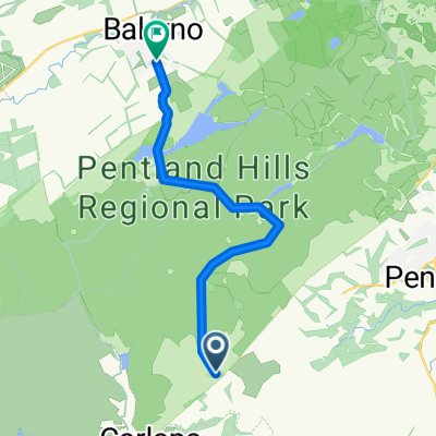 9 Mile Burn to Balerno walk 7.2 mls
- Distance
- 11.6 km
- Ascent
- 489 m
- Descent
- 571 m
- Location
- Penicuik, Scotland, United Kingdom
 Valleyfield Road 22 to Edinburgh Road 34
- Distance
- 63.9 km
- Ascent
- 628 m
- Descent
- 645 m
- Location
- Penicuik, Scotland, United Kingdom
 13–14 Fraser Lane, Penicuik to Royal Tweed Bridge, Berwick-upon-Tweed
- Distance
- 93.2 km
- Ascent
- 979 m
- Descent
- 1,152 m
- Location
- Penicuik, Scotland, United Kingdom
 Easter Bush / Roslin / Dalmore
- Distance
- 19.8 km
- Ascent
- 402 m
- Descent
- 405 m
- Location
- Penicuik, Scotland, United Kingdom
Open it in the app