

Kaligondang, Bambanglipuro to Jalan Ganjuran 11, Kecamatan Bambanglipuro
A cycling route starting in Pandak, Special Region of Yogyakarta, Indonesia.
Overview
About this route
- 1 h 22 min
- Duration
- 23.4 km
- Distance
- 80 m
- Ascent
- 82 m
- Descent
- 17.1 km/h
- Avg. speed
- ---
- Max. altitude

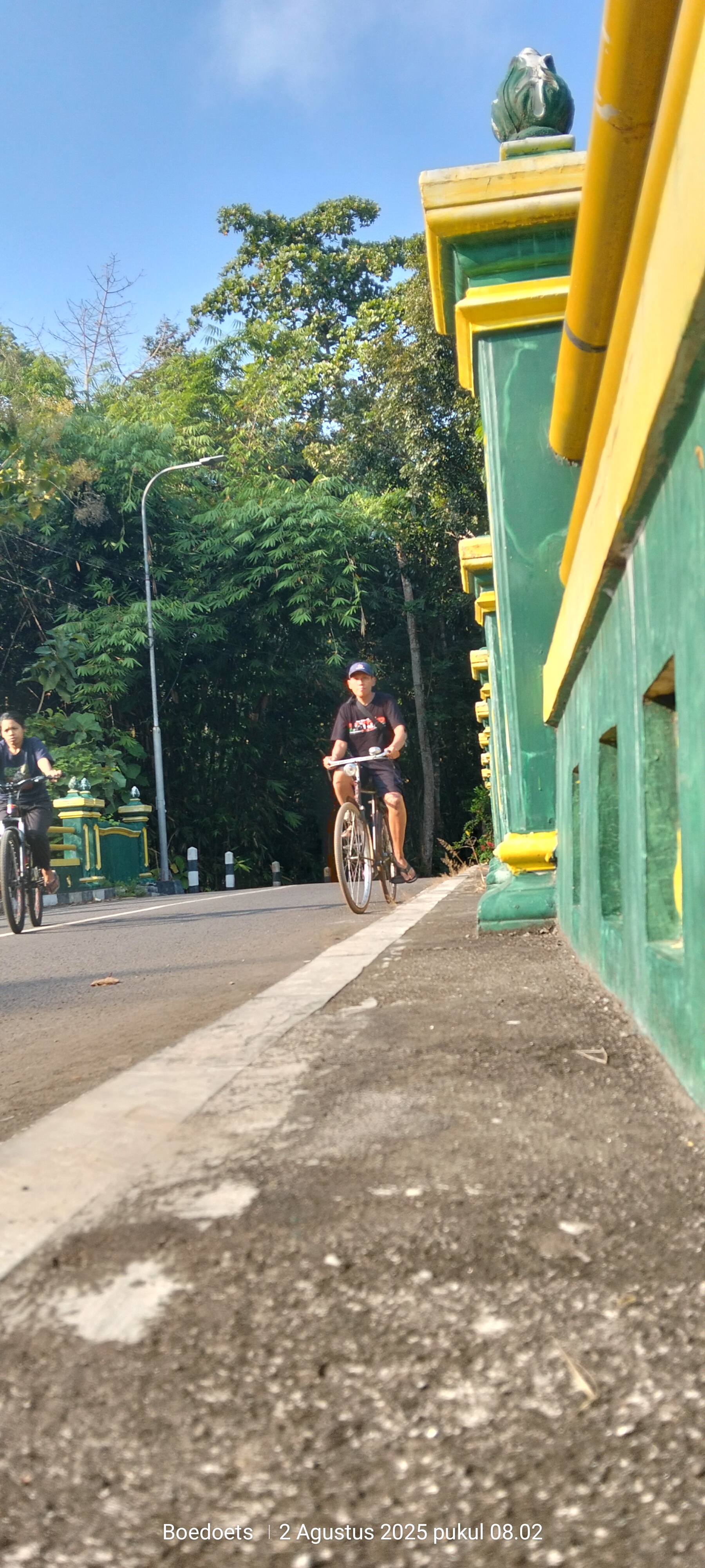
Route photos


Route quality
Waytypes & surfaces along the route
Waytypes
Quiet road
13.1 km
(56 %)
Road
7.3 km
(31 %)
Surfaces
Paved
19.2 km
(82 %)
Asphalt
16.8 km
(72 %)
Concrete
1.4 km
(6 %)
Continue with Bikemap
Use, edit, or download this cycling route
You would like to ride Kaligondang, Bambanglipuro to Jalan Ganjuran 11, Kecamatan Bambanglipuro or customize it for your own trip? Here is what you can do with this Bikemap route:
Free features
- Save this route as favorite or in collections
- Copy & plan your own version of this route
- Sync your route with Garmin or Wahoo
Premium features
Free trial for 3 days, or one-time payment. More about Bikemap Premium.
- Navigate this route on iOS & Android
- Export a GPX / KML file of this route
- Create your custom printout (try it for free)
- Download this route for offline navigation
Discover more Premium features.
Get Bikemap PremiumFrom our community
Other popular routes starting in Pandak
 Jalan Sedayu-Gesikan 16, Kecamatan Pajangan to Unnamed Road, Kecamatan Pandak
- Distance
- 23.7 km
- Ascent
- 111 m
- Descent
- 106 m
- Location
- Pandak, Special Region of Yogyakarta, Indonesia
 Jalan Ganjuran 64, Kecamatan Bambanglipuro to Jalan Ganjuran, Kecamatan Bambanglipuro
- Distance
- 16.8 km
- Ascent
- 58 m
- Descent
- 61 m
- Location
- Pandak, Special Region of Yogyakarta, Indonesia
 Kaligondang, Bambanglipuro to Jalan Ganjuran 11, Kecamatan Bambanglipuro
- Distance
- 23.4 km
- Ascent
- 80 m
- Descent
- 82 m
- Location
- Pandak, Special Region of Yogyakarta, Indonesia
 Kaligondang, Bambanglipuro to Jalan Ganjuran, Kecamatan Bambanglipuro
- Distance
- 29.2 km
- Ascent
- 101 m
- Descent
- 100 m
- Location
- Pandak, Special Region of Yogyakarta, Indonesia
 Jalan Srandakan, Kecamatan Pandak to Jodog, Pandak
- Distance
- 5.1 km
- Ascent
- 35 m
- Descent
- 37 m
- Location
- Pandak, Special Region of Yogyakarta, Indonesia
 selesai
- Distance
- 17.1 km
- Ascent
- 72 m
- Descent
- 81 m
- Location
- Pandak, Special Region of Yogyakarta, Indonesia
 Kaligondang, Bambanglipuro to Jalan Ganjuran, Kecamatan Bambanglipuro
- Distance
- 21.4 km
- Ascent
- 69 m
- Descent
- 71 m
- Location
- Pandak, Special Region of Yogyakarta, Indonesia
 Kaligondang, Bambanglipuro to Jalan Ganjuran, Kecamatan Bambanglipuro
- Distance
- 27.7 km
- Ascent
- 130 m
- Descent
- 128 m
- Location
- Pandak, Special Region of Yogyakarta, Indonesia
Open it in the app