

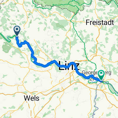
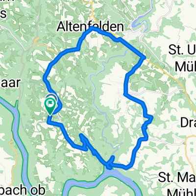
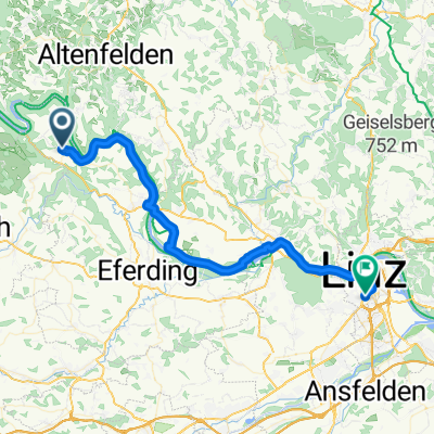
Granitpilgern
A cycling route starting in Kleinzell im Mühlkreis, Upper Austria, Austria.
Overview
About this route
Granitpilgern
(cloned from route 3631287)
- -:--
- Duration
- 90.7 km
- Distance
- 2,751 m
- Ascent
- 2,752 m
- Descent
- ---
- Avg. speed
- ---
- Max. altitude
Route quality
Waytypes & surfaces along the route
Waytypes
Track
32.7 km
(36 %)
Quiet road
25.4 km
(28 %)
Surfaces
Paved
13.6 km
(15 %)
Unpaved
39.9 km
(44 %)
Unpaved (undefined)
19 km
(21 %)
Ground
15.4 km
(17 %)
Continue with Bikemap
Use, edit, or download this cycling route
You would like to ride Granitpilgern or customize it for your own trip? Here is what you can do with this Bikemap route:
Free features
- Save this route as favorite or in collections
- Copy & plan your own version of this route
- Split it into stages to create a multi-day tour
- Sync your route with Garmin or Wahoo
Premium features
Free trial for 3 days, or one-time payment. More about Bikemap Premium.
- Navigate this route on iOS & Android
- Export a GPX / KML file of this route
- Create your custom printout (try it for free)
- Download this route for offline navigation
Discover more Premium features.
Get Bikemap PremiumFrom our community
Other popular routes starting in Kleinzell im Mühlkreis
 Von Kirchberg ob der Donau bis Grein
- Distance
- 112.9 km
- Ascent
- 3,035 m
- Descent
- 3,208 m
- Location
- Kleinzell im Mühlkreis, Upper Austria, Austria
 2 dzień
- Distance
- 70.1 km
- Ascent
- 261 m
- Descent
- 302 m
- Location
- Kleinzell im Mühlkreis, Upper Austria, Austria
 Donauradweg AT-SK-HU Süd 02
- Distance
- 33.2 km
- Ascent
- 78 m
- Descent
- 99 m
- Location
- Kleinzell im Mühlkreis, Upper Austria, Austria
 Tischlerberg, Kirchberg nach Tischlerberg, Kirchberg
- Distance
- 24.8 km
- Ascent
- 530 m
- Descent
- 533 m
- Location
- Kleinzell im Mühlkreis, Upper Austria, Austria
 teil donau radwanderweg
- Distance
- 4.4 km
- Ascent
- 50 m
- Descent
- 50 m
- Location
- Kleinzell im Mühlkreis, Upper Austria, Austria
 R1.05 S. Agatha Sauwald Panoramarunde, Sankt Agatha
- Distance
- 54.8 km
- Ascent
- 1,154 m
- Descent
- 1,194 m
- Location
- Kleinzell im Mühlkreis, Upper Austria, Austria
 Ciclabile Enns 7
- Distance
- 55.4 km
- Ascent
- 647 m
- Descent
- 640 m
- Location
- Kleinzell im Mühlkreis, Upper Austria, Austria
 4. Etappe
- Distance
- 46.1 km
- Ascent
- 401 m
- Descent
- 649 m
- Location
- Kleinzell im Mühlkreis, Upper Austria, Austria
Open it in the app