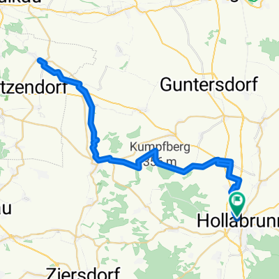
Stronsdorf - Asparn an der Zaya
- 0.3 km
- 4 m
- 12 m
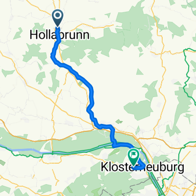
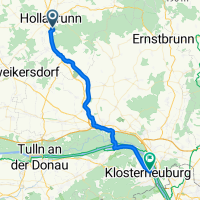
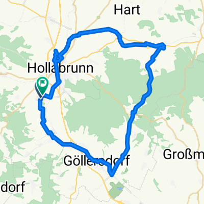
- Hollabrunn, Lower Austria, Austria
A cycling route starting in Hollabrunn, Lower Austria, Austria.
Overview
created this 5 years ago
Route quality
Road
68.4 km
(33 %)
Track
62.2 km
(30 %)
Paved
89.2 km
(43 %)
Unpaved
27 km
(13 %)
Asphalt
76.7 km
(37 %)
Gravel
18.7 km
(9 %)
Route highlights
Weinterrasse
Continue with Bikemap
You would like to ride 210_IVV_200626 or customize it for your own trip? Here is what you can do with this Bikemap route:
Free trial for 3 days, or one-time payment. More about Bikemap Premium.
Discover more Premium features.
Get Bikemap PremiumFrom our community
Open it in the app