

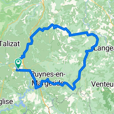
St. Flour - St.-Etienne
A cycling route starting in Saint-Flour, Auvergne-Rhône-Alpes, France.
Overview
About this route
Hügelige Etappe aber am Ende bildet der Col de la Croix de Chaubouret ein schweres Finale. Die 21,5 km lange Abfahrt könnte aber so einiges wieder zusammen fahren lassen.
- -:--
- Duration
- 209.2 km
- Distance
- 2,940 m
- Ascent
- 3,098 m
- Descent
- ---
- Avg. speed
- 1,142 m
- Max. altitude
Route quality
Waytypes & surfaces along the route
Waytypes
Busy road
176 km
(84 %)
Quiet road
14.4 km
(7 %)
Surfaces
Paved
54.9 km
(26 %)
Unpaved
2.5 km
(1 %)
Asphalt
54.9 km
(26 %)
Gravel
1.3 km
(<1 %)
Continue with Bikemap
Use, edit, or download this cycling route
You would like to ride St. Flour - St.-Etienne or customize it for your own trip? Here is what you can do with this Bikemap route:
Free features
- Save this route as favorite or in collections
- Copy & plan your own version of this route
- Split it into stages to create a multi-day tour
- Sync your route with Garmin or Wahoo
Premium features
Free trial for 3 days, or one-time payment. More about Bikemap Premium.
- Navigate this route on iOS & Android
- Export a GPX / KML file of this route
- Create your custom printout (try it for free)
- Download this route for offline navigation
Discover more Premium features.
Get Bikemap PremiumFrom our community
Other popular routes starting in Saint-Flour
 Massif Central 2009 - Tour 4 - Zum Plomb du Cantal
- Distance
- 114.1 km
- Ascent
- 2,977 m
- Descent
- 2,893 m
- Location
- Saint-Flour, Auvergne-Rhône-Alpes, France
 courage les mecs
- Distance
- 57.4 km
- Ascent
- 531 m
- Descent
- 532 m
- Location
- Saint-Flour, Auvergne-Rhône-Alpes, France
 Ruynes-en-Margeride - Saugues (Nr. 152)
- Distance
- 37.5 km
- Ascent
- 675 m
- Descent
- 611 m
- Location
- Saint-Flour, Auvergne-Rhône-Alpes, France
 SF-Super Lioran-Mandailles-Dienne-SF
- Distance
- 119.8 km
- Ascent
- 1,946 m
- Descent
- 1,947 m
- Location
- Saint-Flour, Auvergne-Rhône-Alpes, France
 Massif Central 2009 - Tour 2 - Granitberge der Margeride
- Distance
- 115.7 km
- Ascent
- 2,301 m
- Descent
- 2,356 m
- Location
- Saint-Flour, Auvergne-Rhône-Alpes, France
 Saint-Flour- Givors
- Distance
- 202.7 km
- Ascent
- 1,477 m
- Descent
- 2,195 m
- Location
- Saint-Flour, Auvergne-Rhône-Alpes, France
 Massiv Central 2009 - Tour 3 - Die Hochebene des Cezallier
- Distance
- 125.5 km
- Ascent
- 2,475 m
- Descent
- 2,488 m
- Location
- Saint-Flour, Auvergne-Rhône-Alpes, France
 Les Gorges de la Truyère
- Distance
- 54.3 km
- Ascent
- 1,005 m
- Descent
- 1,005 m
- Location
- Saint-Flour, Auvergne-Rhône-Alpes, France
Open it in the app