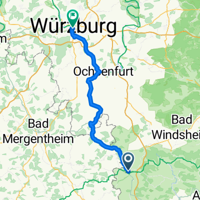
Rothenburg-Tauberquelle
A cycling route starting in Rothenburg upon Tauber, Bavaria, Germany.
Overview
About this route
predominantly paved (95%), on little-trafficked side roads, going up and down to the source, beautiful small villages, few rest opportunities, but at the end, on the other side of the Tauber, there is a recommended garden restaurant (few parking spots, better to cycle there)
- -:--
- Duration
- 44.7 km
- Distance
- 278 m
- Ascent
- 278 m
- Descent
- ---
- Avg. speed
- ---
- Max. altitude
Route photos
Route quality
Waytypes & surfaces along the route
Waytypes
Quiet road
19.2 km
(43 %)
Track
10.7 km
(24 %)
Surfaces
Paved
26.4 km
(59 %)
Unpaved
4.5 km
(10 %)
Asphalt
23.7 km
(53 %)
Gravel
4 km
(9 %)
Route highlights
Points of interest along the route

Point of interest after 22.7 km
Tauberquelle
Continue with Bikemap
Use, edit, or download this cycling route
You would like to ride Rothenburg-Tauberquelle or customize it for your own trip? Here is what you can do with this Bikemap route:
Free features
- Save this route as favorite or in collections
- Copy & plan your own version of this route
- Sync your route with Garmin or Wahoo
Premium features
Free trial for 3 days, or one-time payment. More about Bikemap Premium.
- Navigate this route on iOS & Android
- Export a GPX / KML file of this route
- Create your custom printout (try it for free)
- Download this route for offline navigation
Discover more Premium features.
Get Bikemap PremiumFrom our community
Other popular routes starting in Rothenburg upon Tauber
Taubertal-Panorama- Distance
- 52.4 km
- Ascent
- 733 m
- Descent
- 895 m
- Location
- Rothenburg upon Tauber, Bavaria, Germany
Rothenburg ob der Tauber nach Leutershausen- Distance
- 23.3 km
- Ascent
- 214 m
- Descent
- 211 m
- Location
- Rothenburg upon Tauber, Bavaria, Germany
Sat. 16th- Distance
- 81.5 km
- Ascent
- 593 m
- Descent
- 701 m
- Location
- Rothenburg upon Tauber, Bavaria, Germany
Abendrunde über die Frankenhöhe- Distance
- 18.2 km
- Ascent
- 146 m
- Descent
- 170 m
- Location
- Rothenburg upon Tauber, Bavaria, Germany
Tauber-Altmühl Cycle Route - Rothenburg ob der Tauber to Kelheim- Distance
- 252.2 km
- Ascent
- 1,118 m
- Descent
- 1,200 m
- Location
- Rothenburg upon Tauber, Bavaria, Germany
Tranquillo: Cyclable de l’Altmühl classique- Distance
- 222.6 km
- Ascent
- 764 m
- Descent
- 778 m
- Location
- Rothenburg upon Tauber, Bavaria, Germany
Rothenburg ob der Tauber - Treuchtlingen- Distance
- 88.8 km
- Ascent
- 363 m
- Descent
- 375 m
- Location
- Rothenburg upon Tauber, Bavaria, Germany
altmühltal- Distance
- 137.4 km
- Ascent
- 496 m
- Descent
- 540 m
- Location
- Rothenburg upon Tauber, Bavaria, Germany
Open it in the app

