Oberberg-Bremgarten-Schanzenwägli-Tour
A cycling route starting in Laupersdorf, Canton of Solothurn, Switzerland.
Overview
About this route
Hat man den Aufstieg zur Bremgartenbergwirtschaft geschaft, beginnt der Singletrail mit diversen kleineren Schäntzchen und Stägeli. Tiptop auch für Biker die nach kleineren "Herausfoderungen" suchen.
- -:--
- Duration
- 19 km
- Distance
- 532 m
- Ascent
- 529 m
- Descent
- ---
- Avg. speed
- ---
- Avg. speed
Route quality
Waytypes & surfaces along the route
Waytypes
Undefined
19 km
(100 %)
Surfaces
Undefined
19 km
(100 %)
Continue with Bikemap
Use, edit, or download this cycling route
You would like to ride Oberberg-Bremgarten-Schanzenwägli-Tour or customize it for your own trip? Here is what you can do with this Bikemap route:
Free features
- Save this route as favorite or in collections
- Copy & plan your own version of this route
- Sync your route with Garmin or Wahoo
Premium features
Free trial for 3 days, or one-time payment. More about Bikemap Premium.
- Navigate this route on iOS & Android
- Export a GPX / KML file of this route
- Create your custom printout (try it for free)
- Download this route for offline navigation
Discover more Premium features.
Get Bikemap PremiumFrom our community
Other popular routes starting in Laupersdorf
- Brunnersberg, Welschenrohr, Laupersdorf
- Distance
- 27.8 km
- Ascent
- 739 m
- Descent
- 740 m
- Location
- Laupersdorf, Canton of Solothurn, Switzerland
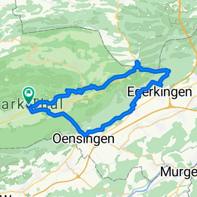
- Brunnersberg-Brocheten-Katertürli
- Distance
- 26.7 km
- Ascent
- 636 m
- Descent
- 650 m
- Location
- Laupersdorf, Canton of Solothurn, Switzerland
- Brunnersberg-Lätt Türli
- Distance
- 18.6 km
- Ascent
- 582 m
- Descent
- 583 m
- Location
- Laupersdorf, Canton of Solothurn, Switzerland
- Hellchöpfli
- Distance
- 24 km
- Ascent
- 805 m
- Descent
- 805 m
- Location
- Laupersdorf, Canton of Solothurn, Switzerland
- Passwang-Mariastein
- Distance
- 35.1 km
- Ascent
- 1,178 m
- Descent
- 1,496 m
- Location
- Laupersdorf, Canton of Solothurn, Switzerland
- Laupersdorf-Bärenwil-Oensingen-Laupersdorf
- Distance
- 34.1 km
- Ascent
- 744 m
- Descent
- 744 m
- Location
- Laupersdorf, Canton of Solothurn, Switzerland
- Laupersdorf, Brunnersberg ,Mümliswil, lpd
- Distance
- 27.4 km
- Ascent
- 852 m
- Descent
- 852 m
- Location
- Laupersdorf, Canton of Solothurn, Switzerland
- Laupersdorf, Alp, Bluemlismatt, Holderbank, Laupersdorf
- Distance
- 31.7 km
- Ascent
- 798 m
- Descent
- 798 m
- Location
- Laupersdorf, Canton of Solothurn, Switzerland