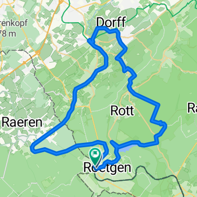
Acht Talsperren
- 125.3 km
- 915 m
- 915 m
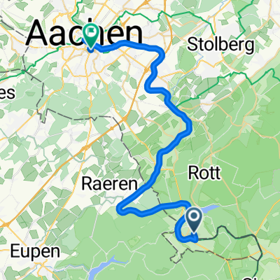
- Roetgen, North Rhine-Westphalia, Germany
A cycling route starting in Roetgen, North Rhine-Westphalia, Germany.
Overview
created this 17 years ago
Route quality
Track
17.8 km
(74 %)
Quiet road
3.8 km
(16 %)
Paved
13.4 km
(56 %)
Unpaved
6.5 km
(27 %)
Asphalt
12.5 km
(52 %)
Gravel
4.3 km
(18 %)
Continue with Bikemap
You would like to ride Von Roetgen ins hohe Venn or customize it for your own trip? Here is what you can do with this Bikemap route:
Free trial for 3 days, or one-time payment. More about Bikemap Premium.
Discover more Premium features.
Get Bikemap PremiumFrom our community
Open it in the app