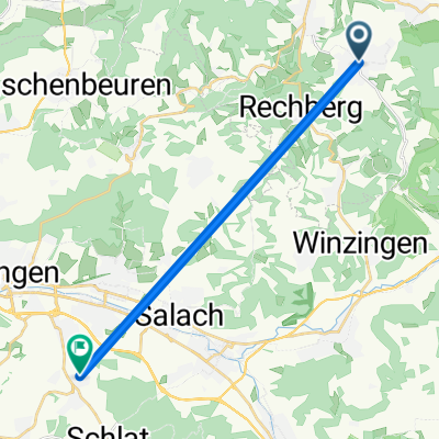
Hölzle über Hornberg
- 24 km
- 490 m
- 449 m
- Waldstetten, Baden-Wurttemberg, Germany
A cycling route starting in Waldstetten, Baden-Wurttemberg, Germany.
Overview
created this 5 years ago
Route quality
Track
7.2 km
(30 %)
Quiet road
6 km
(25 %)
Paved
22.3 km
(93 %)
Asphalt
20.2 km
(84 %)
Paved (undefined)
2.2 km
(9 %)
Undefined
1.7 km
(7 %)
Continue with Bikemap
You would like to ride Hölzle über Hornberg or customize it for your own trip? Here is what you can do with this Bikemap route:
Free trial for 3 days, or one-time payment. More about Bikemap Premium.
Discover more Premium features.
Get Bikemap PremiumFrom our community
Open it in the app