

Charente-Landak
A cycling route starting in Angoulême, Nouvelle-Aquitaine, France.
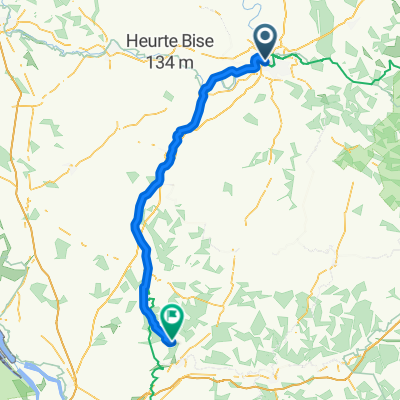
Overview
About this route
- -:--
- Duration
- 330.4 km
- Distance
- 225 m
- Ascent
- 251 m
- Descent
- ---
- Avg. speed
- ---
- Max. altitude

Route quality
Waytypes & surfaces along the route
Waytypes
Cycleway
128.9 km
(39 %)
Quiet road
85.9 km
(26 %)
Surfaces
Paved
191.6 km
(58 %)
Unpaved
6.6 km
(2 %)
Asphalt
181.7 km
(55 %)
Paved (undefined)
9.9 km
(3 %)
Continue with Bikemap
Use, edit, or download this cycling route
You would like to ride Charente-Landak or customize it for your own trip? Here is what you can do with this Bikemap route:
Free features
- Save this route as favorite or in collections
- Copy & plan your own version of this route
- Split it into stages to create a multi-day tour
- Sync your route with Garmin or Wahoo
Premium features
Free trial for 3 days, or one-time payment. More about Bikemap Premium.
- Navigate this route on iOS & Android
- Export a GPX / KML file of this route
- Create your custom printout (try it for free)
- Download this route for offline navigation
Discover more Premium features.
Get Bikemap PremiumFrom our community
Other popular routes starting in Angoulême
 De Chemin de Halage 9, Angoulême à Rue des Papetiers 223, Angoulême
- Distance
- 18 km
- Ascent
- 145 m
- Descent
- 147 m
- Location
- Angoulême, Nouvelle-Aquitaine, France
 Angoulême - Cognac par la Flow Vélo
- Distance
- 64.3 km
- Ascent
- 162 m
- Descent
- 216 m
- Location
- Angoulême, Nouvelle-Aquitaine, France
 Drunk Packing Tour - Jour 5
- Distance
- 44.8 km
- Ascent
- 310 m
- Descent
- 241 m
- Location
- Angoulême, Nouvelle-Aquitaine, France
 Angoulème / Châteauneuf-sur-Charente
- Distance
- 29.8 km
- Ascent
- 34 m
- Descent
- 45 m
- Location
- Angoulême, Nouvelle-Aquitaine, France
 Day 34
- Distance
- 121.7 km
- Ascent
- 1,004 m
- Descent
- 960 m
- Location
- Angoulême, Nouvelle-Aquitaine, France
 Balade vélo
- Distance
- 7.7 km
- Ascent
- 81 m
- Descent
- 91 m
- Location
- Angoulême, Nouvelle-Aquitaine, France
 Charente-Landak
- Distance
- 330.4 km
- Ascent
- 225 m
- Descent
- 251 m
- Location
- Angoulême, Nouvelle-Aquitaine, France
 2020 08 Angouleme-Lagorce
- Distance
- 91.6 km
- Ascent
- 391 m
- Descent
- 384 m
- Location
- Angoulême, Nouvelle-Aquitaine, France
Open it in the app