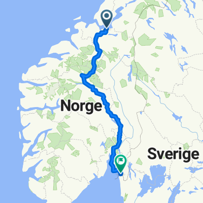
EuroVelo 3, Pilgrimsroute, Nidaros - Hamar - Oslo - Sweden
- 822.8 km
- 10,398 m
- 10,370 m
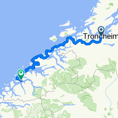
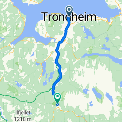
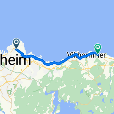
- Trondheim, Sør-Trøndelag Fylke, Norway
A cycling route starting in Trondheim, Sør-Trøndelag Fylke, Norway.
Overview
Nasjonal sykkelrute 7, EuroVelo route 3 Norway
Pilegrimsruta Trondheim Hamar Halden
Skiltet fra sør for Lillehammer til Oslo.
Srekningen Trondheim - Lillehammer er ikke kontrollerte for framkommelighet og trafikksikkerhet.
Forelått endring, grense Sverige - Halden, for å følge Pilegrimsvandrerute, Borgleden.
Sist revidert 2.2.21
created this 5 years ago
Route quality
Cycleway
232.2 km
(29 %)
Quiet road
120.1 km
(15 %)
Paved
464.4 km
(58 %)
Unpaved
136.1 km
(17 %)
Asphalt
456.4 km
(57 %)
Gravel
120.1 km
(15 %)
Continue with Bikemap
You would like to ride EuroVelo 3, Norway, nasjonal sykkelrute 7, Pilegrimsruta - forslag or customize it for your own trip? Here is what you can do with this Bikemap route:
Free trial for 3 days, or one-time payment. More about Bikemap Premium.
Discover more Premium features.
Get Bikemap PremiumFrom our community
Open it in the app