

Roquettes Cycling
A cycling route starting in Roquettes, Occitanie, France.
Overview
About this route
2713®
- -:--
- Duration
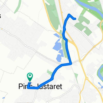
- 61.4 km
- Distance
- 210 m
- Ascent
- 214 m
- Descent
- ---
- Avg. speed
- ---
- Max. altitude

Route quality
Waytypes & surfaces along the route
Waytypes
Road
39.3 km
(64 %)
Quiet road
5.5 km
(9 %)
Surfaces
Paved
47.3 km
(77 %)
Asphalt
47.3 km
(77 %)
Undefined
14.1 km
(23 %)
Continue with Bikemap
Use, edit, or download this cycling route
You would like to ride Roquettes Cycling or customize it for your own trip? Here is what you can do with this Bikemap route:
Free features
- Save this route as favorite or in collections
- Copy & plan your own version of this route
- Sync your route with Garmin or Wahoo
Premium features
Free trial for 3 days, or one-time payment. More about Bikemap Premium.
- Navigate this route on iOS & Android
- Export a GPX / KML file of this route
- Create your custom printout (try it for free)
- Download this route for offline navigation
Discover more Premium features.
Get Bikemap PremiumFrom our community
Other popular routes starting in Roquettes

 1 Rue de la Garonne, Roquettes à 6 Avenue du Bois Vert, Portet-sur-Garonne
- Distance
- 7.2 km
- Ascent
- 16 m
- Descent
- 23 m
- Location
- Roquettes, Occitanie, France

 Recovered Route
- Distance
- 7 km
- Ascent
- 9 m
- Descent
- 13 m
- Location
- Roquettes, Occitanie, France
 pins Justaret maison Ramonville maison
- Distance
- 21.1 km
- Ascent
- 387 m
- Descent
- 409 m
- Location
- Roquettes, Occitanie, France


Open it in the app