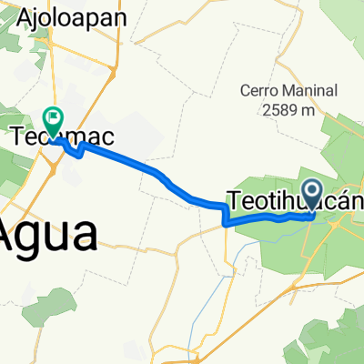
De Juárez a Francisco González Bocanegra
- 13.6 km
- 119 m
- 109 m
- Teotihuacán, Morelos, Mexico
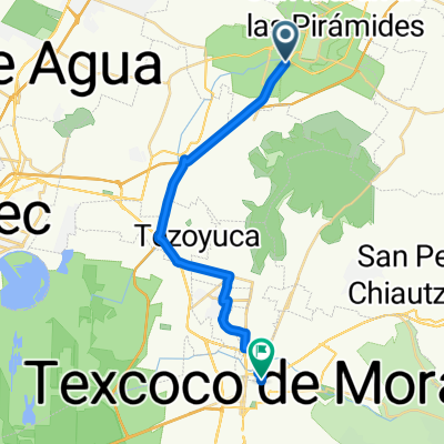
A cycling route starting in Teotihuacán, Morelos, Mexico.
Overview
Warm up on a tour of the Aztec Temples of the Sun and Moon then climb the nearby Cerro Gordo north of Teotihuacan, Mexico.
created this 5 years ago
Continue with Bikemap
You would like to ride Aztec Temples and Mountain or customize it for your own trip? Here is what you can do with this Bikemap route:
Free trial for 3 days, or one-time payment. More about Bikemap Premium.
Discover more Premium features.
Get Bikemap PremiumFrom our community
Open it in the app