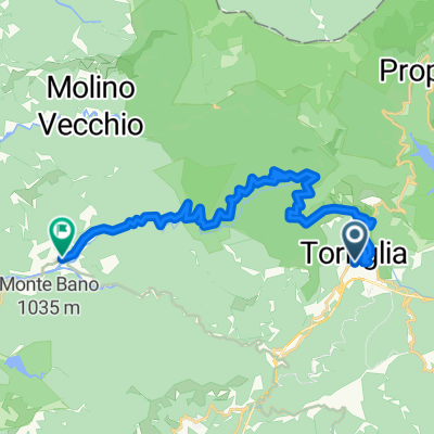
Giro da Torriglia
- 63.9 km
- 2,309 m
- 2,309 m
- Torriglia, Liguria, Italy
A cycling route starting in Torriglia, Liguria, Italy.
Overview
Start from Torriglia (large parking), go to the Buffalora tunnel, and descend until crossing and following SS45 towards Piacenza. After passing the Costa Fontana sign, take the downhill junction towards Cornale and Santa Brilla. After crossing the stream, the road steepens and becomes unpaved. Leave a detour to Santa Brilla and continue climbing, passing through the village of Pian della Chiesa, then exit the Scoglina road. Descending towards Costafinale, climb back up a narrow path that after 200 m leads to a farm road which you follow uphill to a saddle. At this point, reverse direction and continue climbing gently on a clear path that, after some ups and downs, passes by the Cappelletta di Cardenosa. Continue with beautiful passages through beech forest, following the FIE indication (yellow dot). Just before reaching Lake Nava, a 100 m steep section forces you to push your bike. After passing the small lake, avoid the direct ramp and turn right to bypass the hill on a comfortable farm road, rejoining the path shortly after. A series of steep hairpin bends on solid ground bring you to Monte Laghicciola (radio towers). Here you can go straight or bypass as you wish; shortly you reach Passo del Fregarolo, where there is a restaurant and an e-bike charging station.
Descend on asphalt towards Casoni for a couple of km and then enter a barely visible path because next to it there is a more obvious ramp that ends right in front of a fence. You ride through fairly clean and visible forest path reaching a hilltop after which two clear signs point to Casoni and Fontanigorda (on wooden boards). The descent to Fontanigorda is not difficult except for some loose stones and a few bushes that require detouring. Upon reaching Fontanigorda, follow asphalt to Loco and then on SS 45 to Montebruno.
After leaving the settlement, pass the junction that climbs to Brugneto Lake and just after the bridge climb the comfortable dirt road towards Pianazzo. Just before reaching the first houses, leave the asphalt to climb along a narrow path that overtakes them above and climbs through the woods with some sections to push due to steepness and branches. However, further ahead, the path becomes rideable again and the surface improves becoming a farm road that leads to Donderi. Here on asphalt, reach Santa Maria al Porto and after the settlement, stop on a bend in front of the Antola Bike Area symbol. Wearing protections, ride the fun descent indicated by the arrow 'Fly Line', but you can also opt for the next 'Santa Maria' or further 'Amazzonika' which all lead downhill more or less challenging and end on the road to Trebbiola and shortly at the Buffalora tunnel and thus back to Torriglia.
created this 5 years ago
Route quality
Path
9.2 km
(20 %)
Track
6.9 km
(15 %)
Paved
16 km
(35 %)
Unpaved
15.6 km
(34 %)
Asphalt
16 km
(35 %)
Ground
14.7 km
(32 %)
Continue with Bikemap
You would like to ride Torriglia, Cardenosa, Fregarolo, Fontanigorda, Donderi, Torriglia or customize it for your own trip? Here is what you can do with this Bikemap route:
Free trial for 3 days, or one-time payment. More about Bikemap Premium.
Discover more Premium features.
Get Bikemap PremiumFrom our community
Open it in the app