

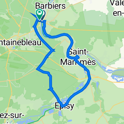
Fontainebleau - Orleans
A cycling route starting in Samoreau, Île-de-France Region, France.
Overview
About this route
- -:--
- Duration
- 133.3 km
- Distance
- 132 m
- Ascent
- 62 m
- Descent
- ---
- Avg. speed
- ---
- Max. altitude

Route quality
Waytypes & surfaces along the route
Waytypes
Cycleway
43.3 km
(32 %)
Path
40.6 km
(30 %)
Surfaces
Paved
56.2 km
(42 %)
Unpaved
49.9 km
(37 %)
Asphalt
54.6 km
(41 %)
Gravel
28.3 km
(21 %)
Continue with Bikemap
Use, edit, or download this cycling route
You would like to ride Fontainebleau - Orleans or customize it for your own trip? Here is what you can do with this Bikemap route:
Free features
- Save this route as favorite or in collections
- Copy & plan your own version of this route
- Split it into stages to create a multi-day tour
- Sync your route with Garmin or Wahoo
Premium features
Free trial for 3 days, or one-time payment. More about Bikemap Premium.
- Navigate this route on iOS & Android
- Export a GPX / KML file of this route
- Create your custom printout (try it for free)
- Download this route for offline navigation
Discover more Premium features.
Get Bikemap PremiumFrom our community
Other popular routes starting in Samoreau
 Voie verte + forêt
- Distance
- 33.3 km
- Ascent
- 220 m
- Descent
- 200 m
- Location
- Samoreau, Île-de-France Region, France
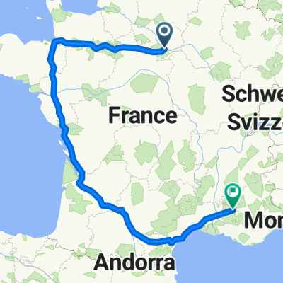 France 1
- Distance
- 1,597.7 km
- Ascent
- 1,663 m
- Descent
- 947 m
- Location
- Samoreau, Île-de-France Region, France
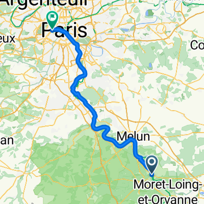 Samoreau - Neuilly-sur-Seine
- Distance
- 81.9 km
- Ascent
- 118 m
- Descent
- 169 m
- Location
- Samoreau, Île-de-France Region, France
 De Paris à Tours à vélo par Nicolas : étape 5, Samoreau-Moret-sur-Loing (2022)
- Distance
- 12.5 km
- Ascent
- 42 m
- Descent
- 39 m
- Location
- Samoreau, Île-de-France Region, France
 Fontainebleau - Orleans
- Distance
- 133.3 km
- Ascent
- 132 m
- Descent
- 62 m
- Location
- Samoreau, Île-de-France Region, France
 avon-morigny
- Distance
- 49.8 km
- Ascent
- 301 m
- Descent
- 282 m
- Location
- Samoreau, Île-de-France Region, France
 De Chemin de Halage, Samoreau à Chemin de Halage, La Grande-Paroisse
- Distance
- 13.1 km
- Ascent
- 50 m
- Descent
- 49 m
- Location
- Samoreau, Île-de-France Region, France
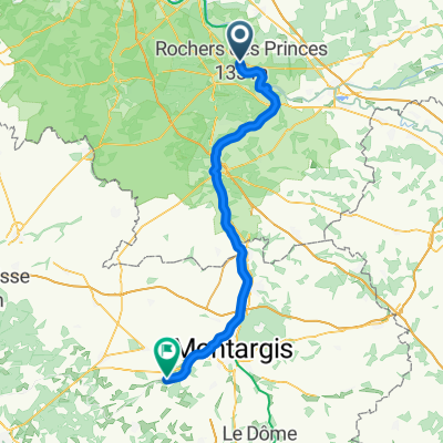 Samoreau - Chevillon-sur-Huillard
- Distance
- 73.3 km
- Ascent
- 302 m
- Descent
- 255 m
- Location
- Samoreau, Île-de-France Region, France
Open it in the app