Tour de Auvergne 2012
- 633.1 km
- 5,135 m
- 5,119 m
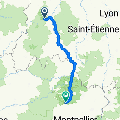
- Aydat, Auvergne-Rhône-Alpes, France
Path
2.5 km44 %Track
0.9 km16 %Paved
2.2 km(40 %)Unpaved
1.9 km(34 %)Asphalt
2.1 km37 %Unpaved (undefined)
1.1 km20 %Free trial for 3 days, or one-time payment. More about Bikemap Premium.
Discover more Premium features.
Get Bikemap PremiumOpen it in the app