Rechberg (Kapelle)
A cycling route starting in Eislingen, Baden-Wurttemberg, Germany.
Overview
About this route
Tälesweg – Ottenbach ↑ Rechberg (road) ↑ Rechberg (chapel) – Ottenbach – Tälesweg Ridden once on a mountain bike
- -:--
- Duration
- 22.8 km
- Distance
- 446 m
- Ascent
- 449 m
- Descent
- ---
- Avg. speed
- ---
- Max. altitude
Route quality
Waytypes & surfaces along the route
Waytypes
Quiet road
10.7 km
(47 %)
Road
5.9 km
(26 %)
Surfaces
Paved
20.7 km
(91 %)
Unpaved
0.2 km
(1 %)
Asphalt
20.7 km
(91 %)
Ground
0.2 km
(1 %)
Undefined
1.8 km
(8 %)
Route highlights
Points of interest along the route

Point of interest after 7.9 km

Point of interest after 10.2 km
Continue with Bikemap
Use, edit, or download this cycling route
You would like to ride Rechberg (Kapelle) or customize it for your own trip? Here is what you can do with this Bikemap route:
Free features
- Save this route as favorite or in collections
- Copy & plan your own version of this route
- Sync your route with Garmin or Wahoo
Premium features
Free trial for 3 days, or one-time payment. More about Bikemap Premium.
- Navigate this route on iOS & Android
- Export a GPX / KML file of this route
- Create your custom printout (try it for free)
- Download this route for offline navigation
Discover more Premium features.
Get Bikemap PremiumFrom our community
Other popular routes starting in Eislingen
Von Eislingen/Fils bis Göppingen- Distance
- 10.7 km
- Ascent
- 98 m
- Descent
- 84 m
- Location
- Eislingen, Baden-Wurttemberg, Germany
Esslingen- Distance
- 35.6 km
- Ascent
- 17 m
- Descent
- 106 m
- Location
- Eislingen, Baden-Wurttemberg, Germany
Hohenstaufen und Rechberg (ĂĽber Ottenbach)- Distance
- 29.1 km
- Ascent
- 422 m
- Descent
- 425 m
- Location
- Eislingen, Baden-Wurttemberg, Germany
Hohenstaufen (über Göppingen)- Distance
- 21.8 km
- Ascent
- 314 m
- Descent
- 317 m
- Location
- Eislingen, Baden-Wurttemberg, Germany
"Trasse" und Rechberg- Distance
- 40.5 km
- Ascent
- 442 m
- Descent
- 442 m
- Location
- Eislingen, Baden-Wurttemberg, Germany
Hohenstaufen und "Trasse" (über Wäschenbeuren)- Distance
- 31 km
- Ascent
- 375 m
- Descent
- 375 m
- Location
- Eislingen, Baden-Wurttemberg, Germany
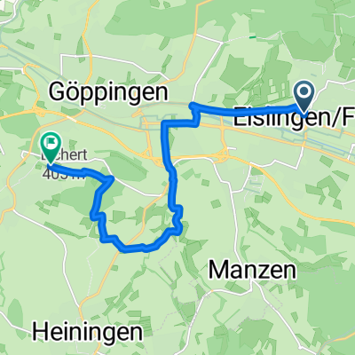
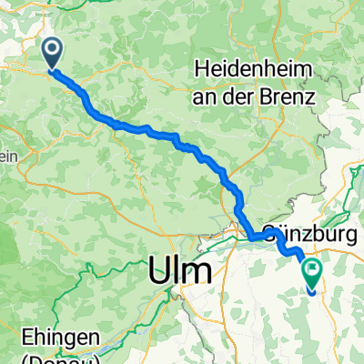
Eislingen/Fils - Ichenhausen- Distance
- 72 km
- Ascent
- 814 m
- Descent
- 663 m
- Location
- Eislingen, Baden-Wurttemberg, Germany
Hohenstaufen und Rechberg (über Göppingen)- Distance
- 33.3 km
- Ascent
- 456 m
- Descent
- 453 m
- Location
- Eislingen, Baden-Wurttemberg, Germany
Open it in the app


