

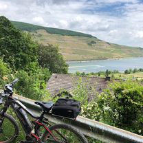
Zur Rausch 5
A cycling route starting in Ingelheim, Rhineland-Palatinate, Germany.
Overview
About this route
- -:--
- Duration
- 18 km
- Distance
- 241 m
- Ascent
- 176 m
- Descent
- ---
- Avg. speed
- ---
- Max. altitude

Route quality
Waytypes & surfaces along the route
Waytypes
Track
7.5 km
(42 %)
Quiet road
5.6 km
(31 %)
Surfaces
Paved
12.9 km
(72 %)
Unpaved
2.9 km
(16 %)
Asphalt
11.9 km
(66 %)
Gravel
2 km
(11 %)
Route highlights
Points of interest along the route
Point of interest after 7.8 km
Continue with Bikemap
Use, edit, or download this cycling route
You would like to ride Zur Rausch 5 or customize it for your own trip? Here is what you can do with this Bikemap route:
Free features
- Save this route as favorite or in collections
- Copy & plan your own version of this route
- Sync your route with Garmin or Wahoo
Premium features
Free trial for 3 days, or one-time payment. More about Bikemap Premium.
- Navigate this route on iOS & Android
- Export a GPX / KML file of this route
- Create your custom printout (try it for free)
- Download this route for offline navigation
Discover more Premium features.
Get Bikemap PremiumFrom our community
Other popular routes starting in Ingelheim
 große Hunsrücktour II Ingelheim, Gemünden, Ingelheim (Variante)
- Distance
- 119.7 km
- Ascent
- 1,586 m
- Descent
- 1,533 m
- Location
- Ingelheim, Rhineland-Palatinate, Germany
 010c Ingelheim - Köngernheim - Undenheim - Ingelheim
- Distance
- 61 km
- Ascent
- 386 m
- Descent
- 325 m
- Location
- Ingelheim, Rhineland-Palatinate, Germany
 Ingelh-Walgalgesh-Windesh-Ingelh 3
- Distance
- 53 km
- Ascent
- 328 m
- Descent
- 327 m
- Location
- Ingelheim, Rhineland-Palatinate, Germany
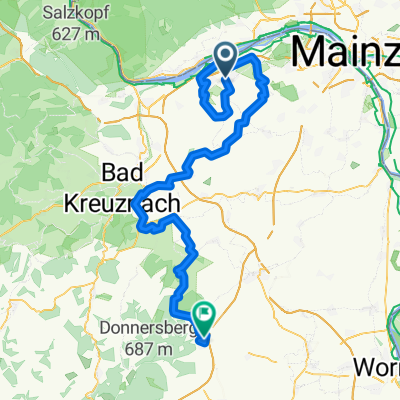 Ingelheim - Kirchheimbolanden
- Distance
- 98.6 km
- Ascent
- 1,475 m
- Descent
- 1,308 m
- Location
- Ingelheim, Rhineland-Palatinate, Germany
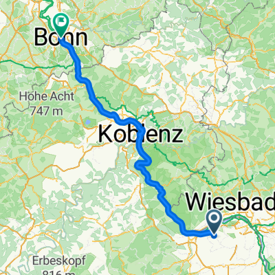 Ohrenbrücke, Ingelheim am Rhein nach Theaterstraße, Bonn
- Distance
- 150.3 km
- Ascent
- 782 m
- Descent
- 821 m
- Location
- Ingelheim, Rhineland-Palatinate, Germany
 "Einfach eine schöne Route!"
- Distance
- 58.3 km
- Ascent
- 380 m
- Descent
- 323 m
- Location
- Ingelheim, Rhineland-Palatinate, Germany
 2016 - 4. Tag
- Distance
- 102.8 km
- Ascent
- 271 m
- Descent
- 312 m
- Location
- Ingelheim, Rhineland-Palatinate, Germany
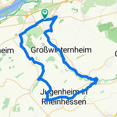 32_Ingelheim – Jugenheim – Schwabenheim – Ingelheim
- Distance
- 35.6 km
- Ascent
- 262 m
- Descent
- 262 m
- Location
- Ingelheim, Rhineland-Palatinate, Germany
Open it in the app