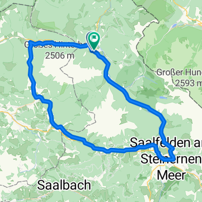
Hochmoos - Lamprechtshöhle - Diesbachstausee - Kallbrunnalm - Wildental - Hochmoss
- 51.7 km
- 2,678 m
- 2,677 m
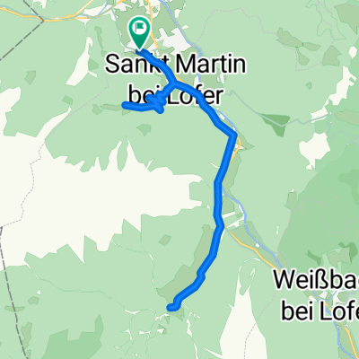
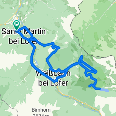
- Sankt Martin bei Lofer, Salzburg, Austria
A cycling route starting in Sankt Martin bei Lofer, Salzburg, Austria.
Overview
created this 5 years ago
Route quality
Quiet road
18.2 km
(22 %)
Path
18.2 km
(22 %)
Paved
61.1 km
(74 %)
Unpaved
3.3 km
(4 %)
Asphalt
61.1 km
(74 %)
Gravel
3.3 km
(4 %)
Undefined
18.2 km
(22 %)
Continue with Bikemap
You would like to ride Steinbergrunde-Lang-RR or customize it for your own trip? Here is what you can do with this Bikemap route:
Free trial for 3 days, or one-time payment. More about Bikemap Premium.
Discover more Premium features.
Get Bikemap PremiumFrom our community
Open it in the app