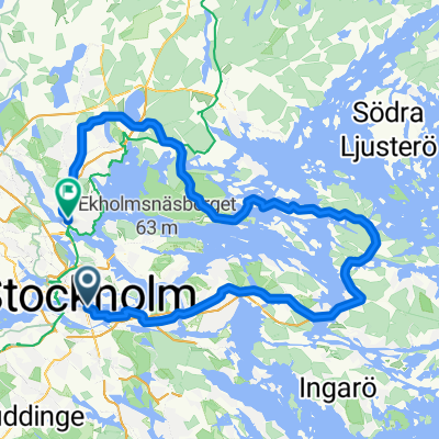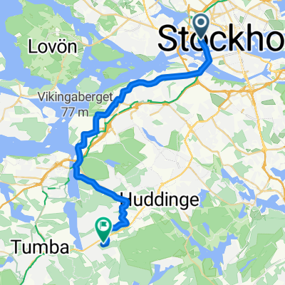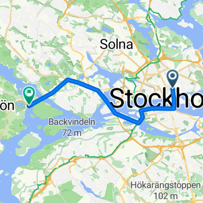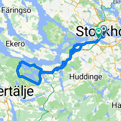
Västmannagatan 46 to Aspviksvägen 28
- 28.4 km
- 432 m
- 466 m
- Stockholm, Stockholm County, Sweden
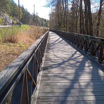
A cycling route starting in Stockholm, Stockholm County, Sweden.
Overview
created this 5 years ago


Route quality
Cycleway
19.6 km
(69 %)
Quiet road
1.4 km
(5 %)
Paved
26.1 km
(92 %)
Unpaved
0.3 km
(1 %)
Asphalt
22.7 km
(80 %)
Paved (undefined)
3.1 km
(11 %)
Continue with Bikemap
You would like to ride Västmannagatan 46 to Aspviksvägen 28 or customize it for your own trip? Here is what you can do with this Bikemap route:
Free trial for 3 days, or one-time payment. More about Bikemap Premium.
Discover more Premium features.
Get Bikemap PremiumFrom our community
Open it in the app