

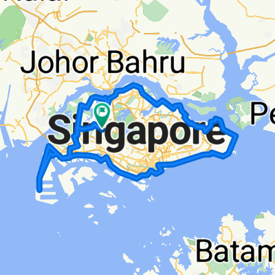
SG 50K Loop v2
A cycling route starting in Singapore, Central Singapore Community Development Council, Singapore.
Overview
About this route
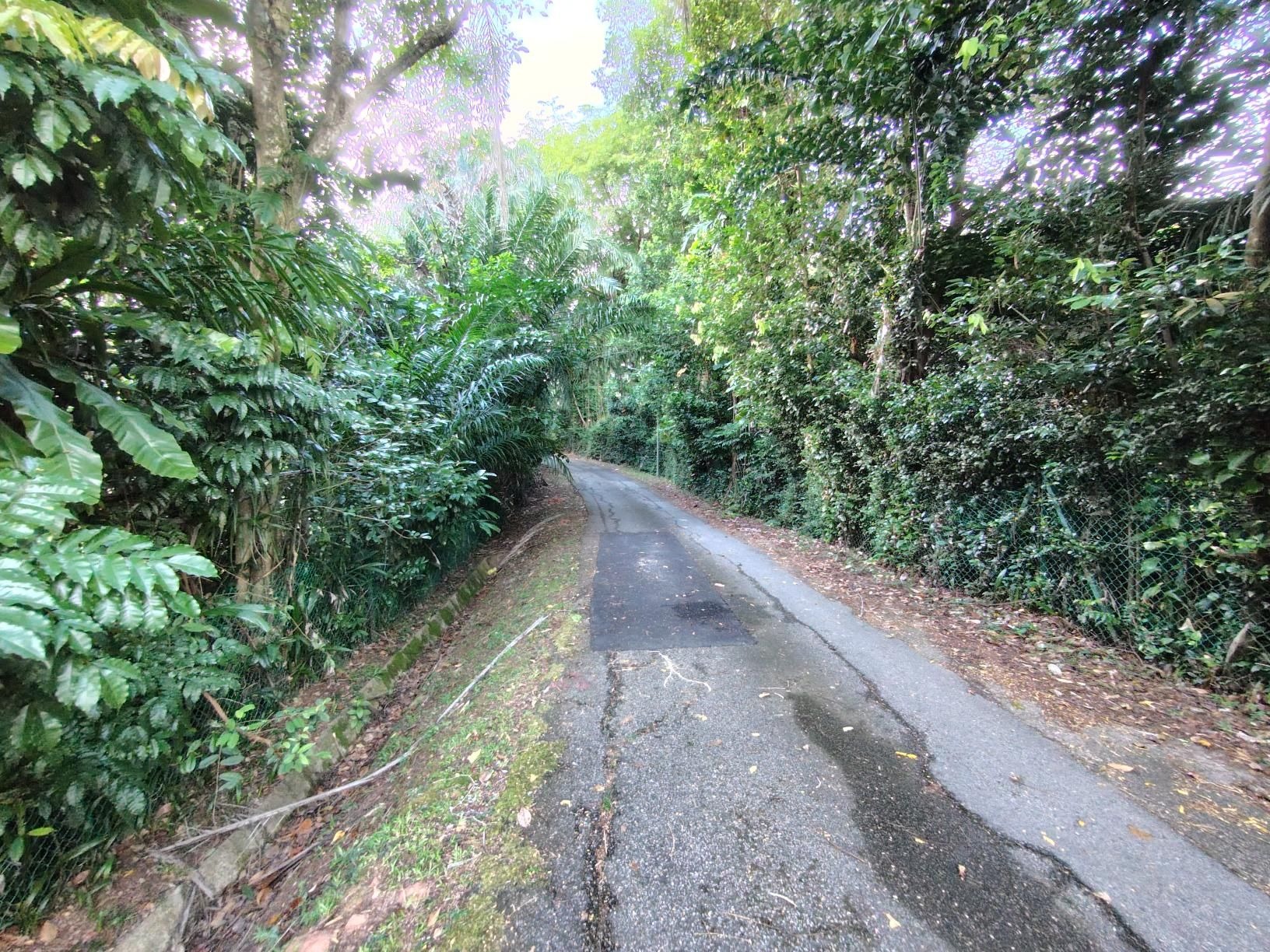
A planned, but as-yet untested route which mirrors my 50K Loop v1 route (https://web.bikemap.net/r/6597056), but returns via the Green/Rail Corridor. Start with a scenic ride through Holland Road and Bukit Timah, cruise on the near-empty roads bordering MacRitchie Reservoir's southern edge, then enjoy a ride on the historic Rail Corridor back to NUS. Recommended only for MTBs and gravel bikes, though I have seen people riding on city bikes too.
- -:--
- Duration
- 49.7 km
- Distance
- 202 m
- Ascent
- 202 m
- Descent
- ---
- Avg. speed
- ---
- Max. altitude

Continue with Bikemap
Use, edit, or download this cycling route
You would like to ride SG 50K Loop v2 or customize it for your own trip? Here is what you can do with this Bikemap route:
Free features
- Save this route as favorite or in collections
- Copy & plan your own version of this route
- Sync your route with Garmin or Wahoo
Premium features
Free trial for 3 days, or one-time payment. More about Bikemap Premium.
- Navigate this route on iOS & Android
- Export a GPX / KML file of this route
- Create your custom printout (try it for free)
- Download this route for offline navigation
Discover more Premium features.
Get Bikemap PremiumFrom our community
Other popular routes starting in Singapore
 Coast 2 Coast Loop (PCN)
- Distance
- 98.3 km
- Ascent
- 1,007 m
- Descent
- 1,007 m
- Location
- Singapore, Central Singapore Community Development Council, Singapore
 RTI CHILL RIDE
- Distance
- 173.2 km
- Ascent
- 191 m
- Descent
- 197 m
- Location
- Singapore, Central Singapore Community Development Council, Singapore
 Round Island (+TP1)
- Distance
- 155.6 km
- Ascent
- 1,028 m
- Descent
- 1,029 m
- Location
- Singapore, Central Singapore Community Development Council, Singapore
 Tampines To Hyderabad/Kay Siang/Ridley Park
- Distance
- 58.1 km
- Ascent
- 477 m
- Descent
- 477 m
- Location
- Singapore, Central Singapore Community Development Council, Singapore
 NorthernScenicExplorer
- Distance
- 38.8 km
- Ascent
- 177 m
- Descent
- 177 m
- Location
- Singapore, Central Singapore Community Development Council, Singapore
 SG RTI Clockwise Start ECP
- Distance
- 120.3 km
- Ascent
- 171 m
- Descent
- 168 m
- Location
- Singapore, Central Singapore Community Development Council, Singapore
 First Round Island for 2021
- Distance
- 122.5 km
- Ascent
- 1,707 m
- Descent
- 1,705 m
- Location
- Singapore, Central Singapore Community Development Council, Singapore
 Tampines Simei Loop
- Distance
- 14.2 km
- Ascent
- 94 m
- Descent
- 91 m
- Location
- Singapore, Central Singapore Community Development Council, Singapore
Open it in the app