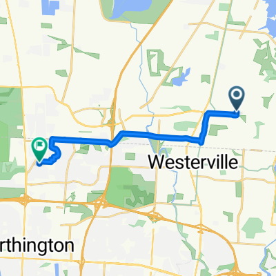
Westerville Bikes n Brews Tour Part II
- 12.8 km
- 49 m
- 46 m
- Westerville, Ohio, United States
A cycling route starting in Westerville, Ohio, United States.
Overview
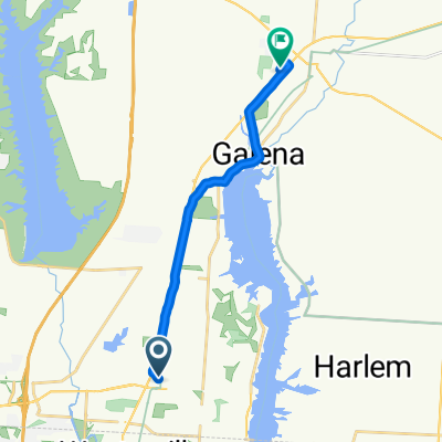
This is the out loop for Alum Creek Trail (18.9 Miles)
created this 5 years ago
Route quality
Cycleway
30.1 km
(98 %)
Quiet road
0.3 km
(1 %)
Undefined
0.3 km
(1 %)
Paved
29.7 km
(97 %)
Asphalt
29.4 km
(96 %)
Concrete
0.3 km
(1 %)
Undefined
0.9 km
(3 %)
Continue with Bikemap
You would like to ride Alum Creek One Way or customize it for your own trip? Here is what you can do with this Bikemap route:
Free trial for 3 days, or one-time payment. More about Bikemap Premium.
Discover more Premium features.
Get Bikemap PremiumFrom our community
Open it in the app