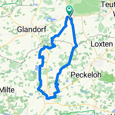
Kleine Runde
- 43.7 km
- 94 m
- 94 m
- Bad Laer, Lower Saxony, Germany
A cycling route starting in Bad Laer, Lower Saxony, Germany.
Overview
The route is easy to ride.
Short unpaved sections make the whole thing varied.
created this 15 years ago
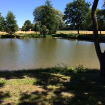
Route highlights
Hausboote
Kloster Vinnenberg ,Gaststätte zur Zeit geschlossen
Heuhotel Horstmann und Swingolfanlage
Bauerncafe Tüsken de Eicken
Continue with Bikemap
You would like to ride Bad Laer-Vinnenberg -Bad Laer or customize it for your own trip? Here is what you can do with this Bikemap route:
Free trial for 3 days, or one-time payment. More about Bikemap Premium.
Discover more Premium features.
Get Bikemap PremiumFrom our community
Open it in the app