
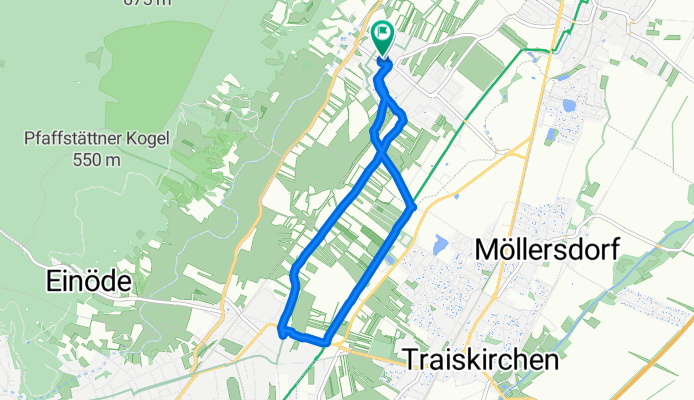
Pfaffstätten Weinbergstraße/Wr. Neustädter Kanal
A cycling route starting in Gumpoldskirchen, Lower Austria, Austria.
Overview
About this route
- 44 min
- Duration
- 8.2 km
- Distance
- 39 m
- Ascent
- 38 m
- Descent
- 11.2 km/h
- Avg. speed
- ---
- Max. altitude

Route quality
Waytypes & surfaces along the route
Waytypes
Quiet road
2.8 km
(34 %)
Track
2.6 km
(31 %)
Surfaces
Paved
8.1 km
(98 %)
Unpaved
0.1 km
(1 %)
Asphalt
8.1 km
(98 %)
Loose gravel
0.1 km
(1 %)
Undefined
0.1 km
(1 %)
Continue with Bikemap
Use, edit, or download this cycling route
You would like to ride Pfaffstätten Weinbergstraße/Wr. Neustädter Kanal or customize it for your own trip? Here is what you can do with this Bikemap route:
Free features
- Save this route as favorite or in collections
- Copy & plan your own version of this route
- Sync your route with Garmin or Wahoo
Premium features
Free trial for 3 days, or one-time payment. More about Bikemap Premium.
- Navigate this route on iOS & Android
- Export a GPX / KML file of this route
- Create your custom printout (try it for free)
- Download this route for offline navigation
Discover more Premium features.
Get Bikemap PremiumFrom our community
Other popular routes starting in Gumpoldskirchen
 Pfaffstätten Weinbergstraße/Wr. Neustädter Kanal
- Distance
- 8.2 km
- Ascent
- 39 m
- Descent
- 38 m
- Location
- Gumpoldskirchen, Lower Austria, Austria
 Gumpoldskirchen Triestengau Radweg
- Distance
- 21.6 km
- Ascent
- 31 m
- Descent
- 82 m
- Location
- Gumpoldskirchen, Lower Austria, Austria
 Gumpoldskirchen EV9 Thermenradweg
- Distance
- 43.5 km
- Ascent
- 162 m
- Descent
- 76 m
- Location
- Gumpoldskirchen, Lower Austria, Austria
 Badgasse 54, Gumpoldskirchen nach Jubiläumspark 4, Mödling
- Distance
- 7.9 km
- Ascent
- 119 m
- Descent
- 55 m
- Location
- Gumpoldskirchen, Lower Austria, Austria
 Klostergasthaus Thallern
- Distance
- 51.3 km
- Ascent
- 145 m
- Descent
- 146 m
- Location
- Gumpoldskirchen, Lower Austria, Austria
 Rotes Mäuerl 270, Gumpoldskirchen nach Untere Ortsstraße 16, Achau
- Distance
- 11.8 km
- Ascent
- 55 m
- Descent
- 153 m
- Location
- Gumpoldskirchen, Lower Austria, Austria
 Richardhof 248, Gumpoldskirchen to Richardhof 248, Gumpoldskirchen
- Distance
- 24.4 km
- Ascent
- 879 m
- Descent
- 877 m
- Location
- Gumpoldskirchen, Lower Austria, Austria
 Wiener Straße 49, Gumpoldskirchen nach Wiener Straße 49, Gumpoldskirchen
- Distance
- 6.1 km
- Ascent
- 36 m
- Descent
- 49 m
- Location
- Gumpoldskirchen, Lower Austria, Austria
Open it in the app