

Puerto Santa Inés y Puerto Piqueras
A cycling route starting in Vinuesa, Castille and León, Spain.
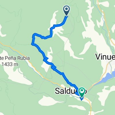
Overview
About this route
- -:--
- Duration
- 109.3 km
- Distance
- 1,546 m
- Ascent
- 1,543 m
- Descent
- ---
- Avg. speed
- ---
- Max. altitude

Route quality
Waytypes & surfaces along the route
Waytypes
Road
21.9 km
(20 %)
Cycleway
21.9 km
(20 %)
Surfaces
Paved
76.5 km
(70 %)
Unpaved
9.8 km
(9 %)
Asphalt
76.5 km
(70 %)
Ground
8.7 km
(8 %)
Route highlights
Points of interest along the route
Point of interest after 46.3 km
Embalse de Piqueras.
Point of interest after 55.8 km
Point of interest after 56.5 km
Puerto Piqueras
Point of interest after 57.7 km
Bonitas fuentes cerca de la cima.
Continue with Bikemap
Use, edit, or download this cycling route
You would like to ride Puerto Santa Inés y Puerto Piqueras or customize it for your own trip? Here is what you can do with this Bikemap route:
Free features
- Save this route as favorite or in collections
- Copy & plan your own version of this route
- Split it into stages to create a multi-day tour
- Sync your route with Garmin or Wahoo
Premium features
Free trial for 3 days, or one-time payment. More about Bikemap Premium.
- Navigate this route on iOS & Android
- Export a GPX / KML file of this route
- Create your custom printout (try it for free)
- Download this route for offline navigation
Discover more Premium features.
Get Bikemap PremiumFrom our community
Other popular routes starting in Vinuesa
 Puerto Santa Inés y Puerto Piqueras
- Distance
- 109.3 km
- Ascent
- 1,546 m
- Descent
- 1,543 m
- Location
- Vinuesa, Castille and León, Spain
 soria, la laguna negra
- Distance
- 71.7 km
- Ascent
- 1,829 m
- Descent
- 1,836 m
- Location
- Vinuesa, Castille and León, Spain
 Vinuesa, Quintanar, Neila, Viniegra, Vinuesa
- Distance
- 122.6 km
- Ascent
- 2,667 m
- Descent
- 2,665 m
- Location
- Vinuesa, Castille and León, Spain
 Vinuesa (camping el Cobijo)-Urbión
- Distance
- 52.8 km
- Ascent
- 1,104 m
- Descent
- 1,104 m
- Location
- Vinuesa, Castille and León, Spain
 Vinuesa, Duruelo de la Sierra y Calatañazor
- Distance
- 94.2 km
- Ascent
- 3,056 m
- Descent
- 3,046 m
- Location
- Vinuesa, Castille and León, Spain
 Raso de Cubillos a Molinos de Duero
- Distance
- 11.3 km
- Ascent
- 90 m
- Descent
- 524 m
- Location
- Vinuesa, Castille and León, Spain
 Nord-4
- Distance
- 133.1 km
- Ascent
- 888 m
- Descent
- 1,136 m
- Location
- Vinuesa, Castille and León, Spain
 Laguna Negra y Sta.Ines Sur
- Distance
- 53.6 km
- Ascent
- 1,141 m
- Descent
- 1,140 m
- Location
- Vinuesa, Castille and León, Spain
Open it in the app