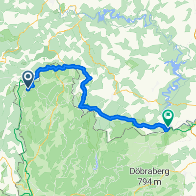
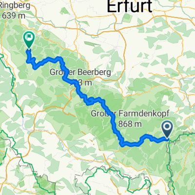
Tettau Neuhaus Schwarzatal Saalfeld
A cycling route starting in Tettau, Bavaria, Germany.
Overview
About this route
Above all, it is wonderful to ride through the Schwarzatal.
- -:--
- Duration
- 64.7 km
- Distance
- 674 m
- Ascent
- 1,082 m
- Descent
- ---
- Avg. speed
- 828 m
- Max. altitude
Route quality
Waytypes & surfaces along the route
Waytypes
Track
16.2 km
(25 %)
Quiet road
6.5 km
(10 %)
Surfaces
Paved
34.3 km
(53 %)
Unpaved
14.2 km
(22 %)
Asphalt
31.7 km
(49 %)
Gravel
7.1 km
(11 %)
Continue with Bikemap
Use, edit, or download this cycling route
You would like to ride Tettau Neuhaus Schwarzatal Saalfeld or customize it for your own trip? Here is what you can do with this Bikemap route:
Free features
- Save this route as favorite or in collections
- Copy & plan your own version of this route
- Sync your route with Garmin or Wahoo
Premium features
Free trial for 3 days, or one-time payment. More about Bikemap Premium.
- Navigate this route on iOS & Android
- Export a GPX / KML file of this route
- Create your custom printout (try it for free)
- Download this route for offline navigation
Discover more Premium features.
Get Bikemap PremiumFrom our community
Other popular routes starting in Tettau
- Rund um Hasenthal
- Distance
- 21.5 km
- Ascent
- 546 m
- Descent
- 523 m
- Location
- Tettau, Bavaria, Germany
- 20-8-14 Vom Rennsteig nach Kronach
- Distance
- 31.7 km
- Ascent
- 19 m
- Descent
- 369 m
- Location
- Tettau, Bavaria, Germany
- zum Bärenbach bei Langenau
- Distance
- 20.7 km
- Ascent
- 317 m
- Descent
- 317 m
- Location
- Tettau, Bavaria, Germany
- Rennsteig, -Loquitztal - Taugwitztal
- Distance
- 25.6 km
- Ascent
- 435 m
- Descent
- 413 m
- Location
- Tettau, Bavaria, Germany
- Der Rennsteig - bayrischer Teil Schildwiese-Ziegelhütte
- Distance
- 24.7 km
- Ascent
- 346 m
- Descent
- 346 m
- Location
- Tettau, Bavaria, Germany
- 2022-08-11 Kleintettau nach Untersiemau
- Distance
- 55.9 km
- Ascent
- 358 m
- Descent
- 694 m
- Location
- Tettau, Bavaria, Germany
- RVC-Tour Talsperre Leibis ab Kalte Küche
- Distance
- 46.8 km
- Ascent
- 889 m
- Descent
- 892 m
- Location
- Tettau, Bavaria, Germany
- zwischen Thüringer Wald und Schiefergebirge
- Distance
- 68.1 km
- Ascent
- 844 m
- Descent
- 1,023 m
- Location
- Tettau, Bavaria, Germany
Open it in the app