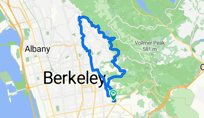


N Oakland - Tunnel - Pinehurst N-S - Pig Farm - 3 Bears CW - Wildcat - Spruce - N Oakland
- 81.5 km
- 2,113 m
- 2,095 m
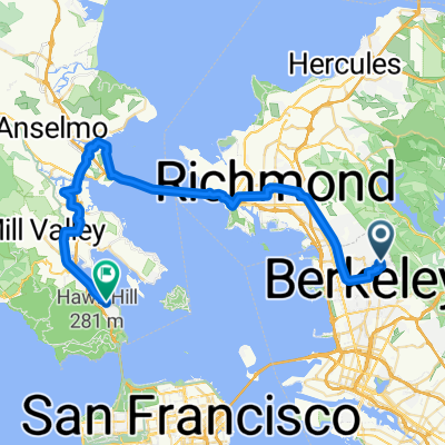
- Berkeley, California, United States
A cycling route starting in Berkeley, California, United States.
Overview
created this 5 years ago
Route quality
Road
11.5 km
(70 %)
Quiet road
4.8 km
(29 %)
Access road
0.2 km
(1 %)
Paved
14.7 km
(90 %)
Asphalt
14.3 km
(87 %)
Paved (undefined)
0.5 km
(3 %)
Undefined
1.6 km
(10 %)
Continue with Bikemap
You would like to ride Tilden Loop or customize it for your own trip? Here is what you can do with this Bikemap route:
Free trial for 3 days, or one-time payment. More about Bikemap Premium.
Discover more Premium features.
Get Bikemap PremiumFrom our community
Open it in the app