
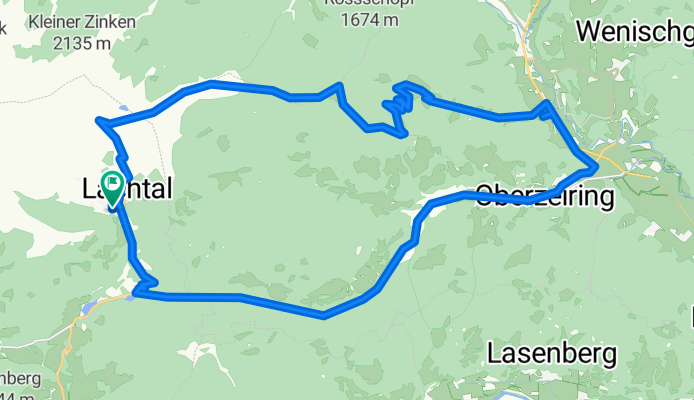
Overview
About this route
- 3 h 2 min
- Duration
- 34.3 km
- Distance
- 1,314 m
- Ascent
- 1,311 m
- Descent
- 11.3 km/h
- Avg. speed
- ---
- Max. altitude
Part of
2021-Lachtal gpx ok
3 stages
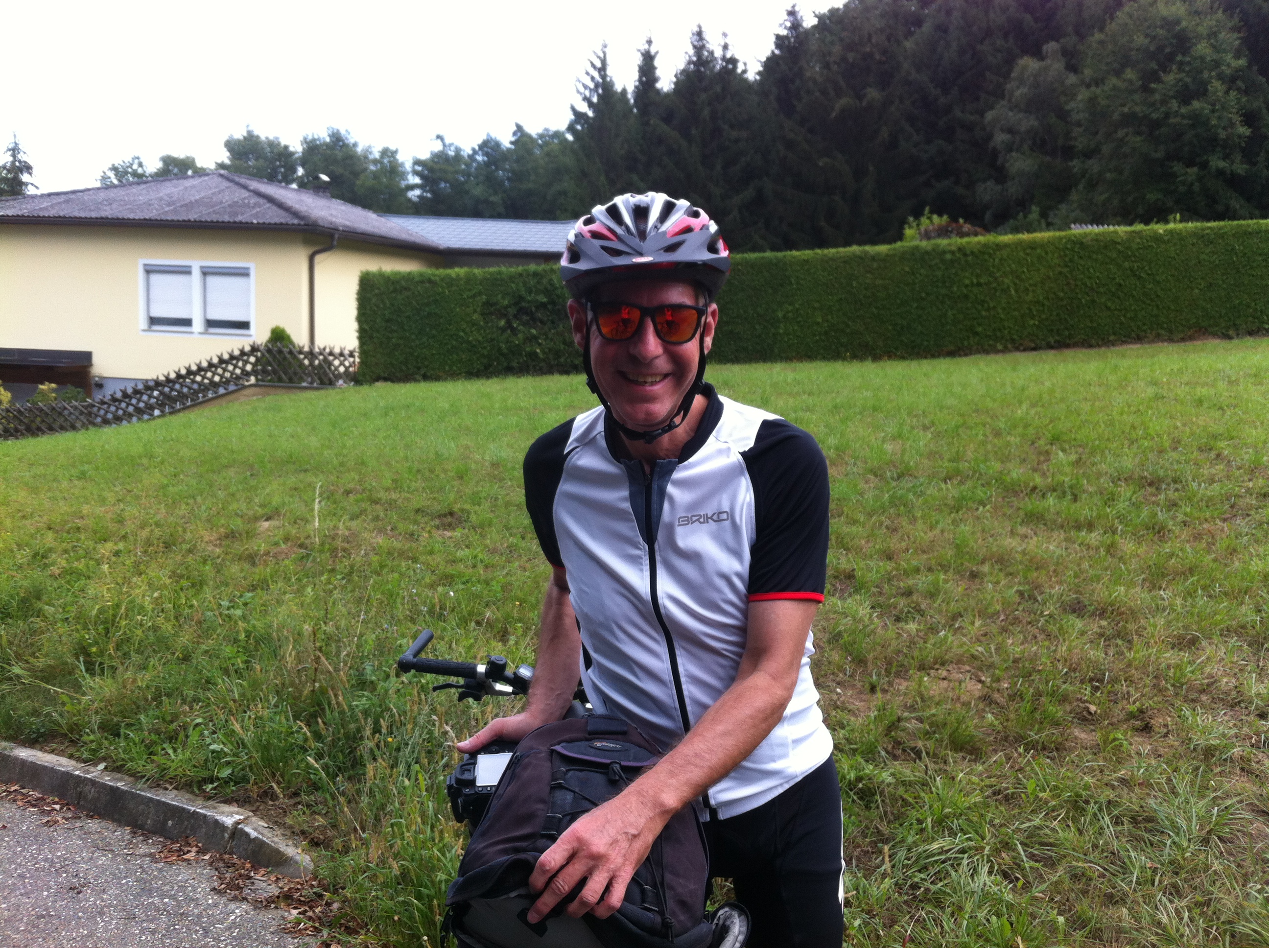
Route photos


Continue with Bikemap
Use, edit, or download this cycling route
You would like to ride Lachtal - Tauernwindpark or customize it for your own trip? Here is what you can do with this Bikemap route:
Free features
- Save this route as favorite or in collections
- Copy & plan your own version of this route
- Sync your route with Garmin or Wahoo
Premium features
Free trial for 3 days, or one-time payment. More about Bikemap Premium.
- Navigate this route on iOS & Android
- Export a GPX / KML file of this route
- Create your custom printout (try it for free)
- Download this route for offline navigation
Discover more Premium features.
Get Bikemap PremiumFrom our community
Other popular routes starting in Pusterwald
 Klosterneuburgerhütte - Lachtal - Gellsee
- Distance
- 20.2 km
- Ascent
- 138 m
- Descent
- 1,116 m
- Location
- Pusterwald, Styria, Austria
 Schönberg-Lachtal 383, Oberwölz Stadt nach Pusterwald 49b, Pusterwald
- Distance
- 27.2 km
- Ascent
- 422 m
- Descent
- 928 m
- Location
- Pusterwald, Styria, Austria
 Lachtal - Tauernwindpark
- Distance
- 34.3 km
- Ascent
- 1,314 m
- Descent
- 1,311 m
- Location
- Pusterwald, Styria, Austria
 Lachtal - Tamsweg
- Distance
- 127.3 km
- Ascent
- 2,277 m
- Descent
- 2,245 m
- Location
- Pusterwald, Styria, Austria
 Lachtal - Gaal
- Distance
- 112.1 km
- Ascent
- 1,778 m
- Descent
- 1,776 m
- Location
- Pusterwald, Styria, Austria
 Lachtal Knittelfeld/Judenburg
- Distance
- 120.5 km
- Ascent
- 1,248 m
- Descent
- 1,254 m
- Location
- Pusterwald, Styria, Austria
 Short ride from 5 April, 12:10 p.m.
- Distance
- 1.1 km
- Ascent
- 20 m
- Descent
- 428 m
- Location
- Pusterwald, Styria, Austria
 Lachtal - Günster Wasserfall
- Distance
- 68.8 km
- Ascent
- 1,540 m
- Descent
- 1,519 m
- Location
- Pusterwald, Styria, Austria
Open it in the app