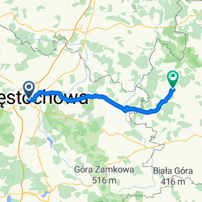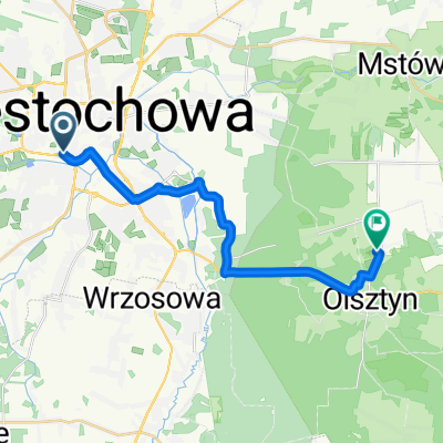
Generała Kazimierza Pułaskiego do Olsztyn
- 18.7 km
- 121 m
- 50 m
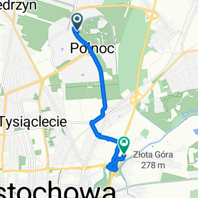
- Częstochowa, Silesian Voivodeship, Poland
A cycling route starting in Częstochowa, Silesian Voivodeship, Poland.
Overview
created this 5 years ago
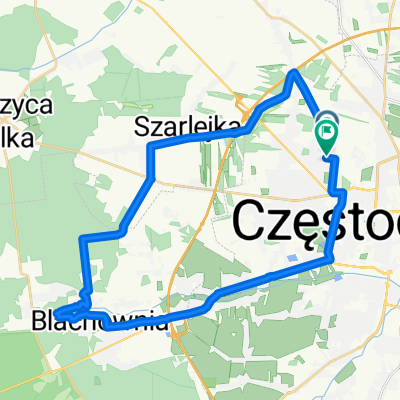
Route quality
Path
3.4 km
(50 %)
Road
0.9 km
(13 %)
Paved
1.3 km
(20 %)
Asphalt
1.1 km
(17 %)
Paved (undefined)
0.2 km
(3 %)
Undefined
5.4 km
(80 %)
Continue with Bikemap
You would like to ride Trasa 10-07-2020 - miasto or customize it for your own trip? Here is what you can do with this Bikemap route:
Free trial for 3 days, or one-time payment. More about Bikemap Premium.
Discover more Premium features.
Get Bikemap PremiumFrom our community
Open it in the app