

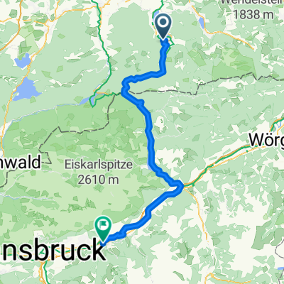
tegernsee - spitzingsattel - miesbach
A cycling route starting in Rottach-Egern, Bavaria, Germany.
Overview
About this route
- -:--
- Duration
- 74.1 km
- Distance
- 829 m
- Ascent
- 829 m
- Descent
- ---
- Avg. speed
- ---
- Max. altitude

Route quality
Waytypes & surfaces along the route
Waytypes
Quiet road
31.1 km
(42 %)
Track
6.7 km
(9 %)
Surfaces
Paved
68.9 km
(93 %)
Unpaved
1.5 km
(2 %)
Asphalt
68.9 km
(93 %)
Gravel
1.5 km
(2 %)
Undefined
3.7 km
(5 %)
Continue with Bikemap
Use, edit, or download this cycling route
You would like to ride tegernsee - spitzingsattel - miesbach or customize it for your own trip? Here is what you can do with this Bikemap route:
Free features
- Save this route as favorite or in collections
- Copy & plan your own version of this route
- Sync your route with Garmin or Wahoo
Premium features
Free trial for 3 days, or one-time payment. More about Bikemap Premium.
- Navigate this route on iOS & Android
- Export a GPX / KML file of this route
- Create your custom printout (try it for free)
- Download this route for offline navigation
Discover more Premium features.
Get Bikemap PremiumFrom our community
Other popular routes starting in Rottach-Egern
 Tegernsee nach Venecia
- Distance
- 525.6 km
- Ascent
- 1,360 m
- Descent
- 2,094 m
- Location
- Rottach-Egern, Bavaria, Germany
 Pfingstrunde
- Distance
- 55.2 km
- Ascent
- 796 m
- Descent
- 798 m
- Location
- Rottach-Egern, Bavaria, Germany
 Auernalm, Tegernsee, Rottach-Egern
- Distance
- 35.1 km
- Ascent
- 737 m
- Descent
- 735 m
- Location
- Rottach-Egern, Bavaria, Germany
 Ringberg-MoniAlm-Valepp-Spitzingsee-Schliersee-Ringberg
- Distance
- 56.6 km
- Ascent
- 834 m
- Descent
- 834 m
- Location
- Rottach-Egern, Bavaria, Germany
 Etappe 2: Tegernsee - Inntal
- Distance
- 80.2 km
- Ascent
- 1,382 m
- Descent
- 1,540 m
- Location
- Rottach-Egern, Bavaria, Germany
 tegernsee - spitzingsattel - miesbach
- Distance
- 74.1 km
- Ascent
- 829 m
- Descent
- 829 m
- Location
- Rottach-Egern, Bavaria, Germany
 Große Tegernsee Südrunde
- Distance
- 70.8 km
- Ascent
- 1,874 m
- Descent
- 1,873 m
- Location
- Rottach-Egern, Bavaria, Germany
 Gotzing Taubenberg Holz
- Distance
- 64.1 km
- Ascent
- 594 m
- Descent
- 585 m
- Location
- Rottach-Egern, Bavaria, Germany
Open it in the app