

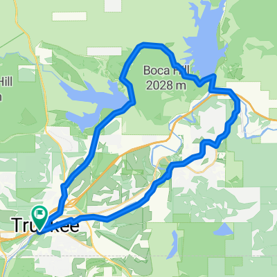
Truckee -> Copperopolis
A cycling route starting in Truckee, California, United States.
Overview
About this route
- -:--
- Duration
- 260 km
- Distance
- 2,019 m
- Ascent
- 3,493 m
- Descent
- ---
- Avg. speed
- ---
- Max. altitude

Route quality
Waytypes & surfaces along the route
Waytypes
Road
39 km
(15 %)
Quiet road
33.8 km
(13 %)
Surfaces
Paved
111.8 km
(43 %)
Unpaved
20.8 km
(8 %)
Asphalt
111.8 km
(43 %)
Unpaved (undefined)
10.4 km
(4 %)
Continue with Bikemap
Use, edit, or download this cycling route
You would like to ride Truckee -> Copperopolis or customize it for your own trip? Here is what you can do with this Bikemap route:
Free features
- Save this route as favorite or in collections
- Copy & plan your own version of this route
- Split it into stages to create a multi-day tour
- Sync your route with Garmin or Wahoo
Premium features
Free trial for 3 days, or one-time payment. More about Bikemap Premium.
- Navigate this route on iOS & Android
- Export a GPX / KML file of this route
- Create your custom printout (try it for free)
- Download this route for offline navigation
Discover more Premium features.
Get Bikemap PremiumFrom our community
Other popular routes starting in Truckee
 Gold Bend, Truckee to Gold Bend, Truckee
- Distance
- 18.7 km
- Ascent
- 397 m
- Descent
- 398 m
- Location
- Truckee, California, United States
 Big Loop
- Distance
- 31.5 km
- Ascent
- 1,011 m
- Descent
- 1,012 m
- Location
- Truckee, California, United States
 Truckee Legacy Trail Glenshire Boca Prosser
- Distance
- 31.5 km
- Ascent
- 304 m
- Descent
- 304 m
- Location
- Truckee, California, United States
 Easy Trail
- Distance
- 9.7 km
- Ascent
- 190 m
- Descent
- 192 m
- Location
- Truckee, California, United States
 Gold Bend, Truckee to Gold Bend, Truckee
- Distance
- 18.6 km
- Ascent
- 397 m
- Descent
- 398 m
- Location
- Truckee, California, United States
 Epic Loop
- Distance
- 57.1 km
- Ascent
- 805 m
- Descent
- 803 m
- Location
- Truckee, California, United States
 Truckee Glenshire Boca Stampede Dog Valley Prosser
- Distance
- 50.3 km
- Ascent
- 524 m
- Descent
- 524 m
- Location
- Truckee, California, United States
 2012 Tahoe Lassen Bike tour
- Distance
- 39.3 km
- Ascent
- 508 m
- Descent
- 518 m
- Location
- Truckee, California, United States
Open it in the app